

28.03.2013
Samaria and Mount Ebal, Israel/ Palestinian Authority
I finally managed to get in those places =)
After all they are in the middle of the Zone A of the Palestinian Authority
Although I was sick, wake up late, got a taxi just to miss the train – I had luck. The guide was late and I got only 5 minutes after him while my girlfriend Atzva waited there in anger =)
And… I forget my camera so I had to take pics in our cellphones (and a lot of times through the armored bus window) – Sorry they aren’t the best =)
We first Climbed to the ancient city of Samaria (or as we sometimes call it Sebaste like the near by village) and found out that we had a very good guide (it is a national park but not very accessible as it sits in ).
He explained us a lot about the roads of the Samaria (we still use the same old roads, just paved in asphalt =), the mountains that called on the name of the city. The city name (Samaria, she had a lot other names during the time) came from the name of the land owner – Samar. Pretty amazing, it wasn’t named after a king or some other important person. It kept the name of the owner the name, and later the whole region got that name – Samaria
After Samaria we climbed to mount Ebal, north to the city of Nablus. Atzva and I have been to other mount of Nablus, south of it, Mount Gerizim. But Mount Ebal and mount Gerizim are non-identical twins. While Gerizim is a green mountain with people that lives on it (Samaritans), Ebal is a bold hard mountain with only a IDF post on top of it.
It has been considered a cursed mountain in the Bible and during the history (While mount Gerizim considered the blessed mount). Part of it because it is made from a hard stone and most of time it is swept with wind. But at the northern downhill there is a Hugh heap of stones, which Adam Zertal from Haifa University claims to be the altar of Joshua! That the people of Israel used when they entered the Land of Israel (after conquering Jericho).
I really liked the view, although our guide kept explaining very interesting things about what around us =)
Take Care
Gad
You can a lot about Samaria on that document
There is not much to see on site, but you can see a lot of pics of the tomb and site during Arch expedition here
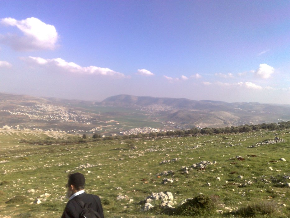
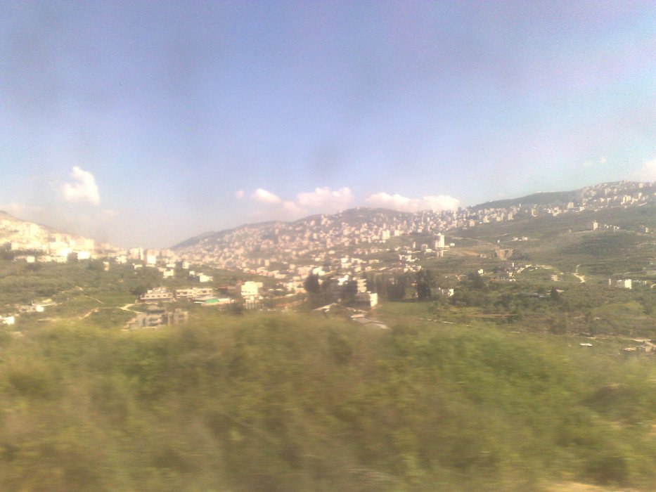
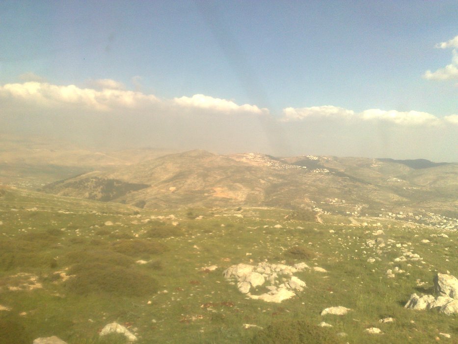
 Samaria (the hill in the distance)
 Hellenistic tower today (Source: Wikipedia)
#/media/%D7%A7%D7%95%D7%91%D7%A5:2016_WLM_-_OVEDC_-_Shomron_capital_of_the_Kingdom_of_Israel_039.jpg)
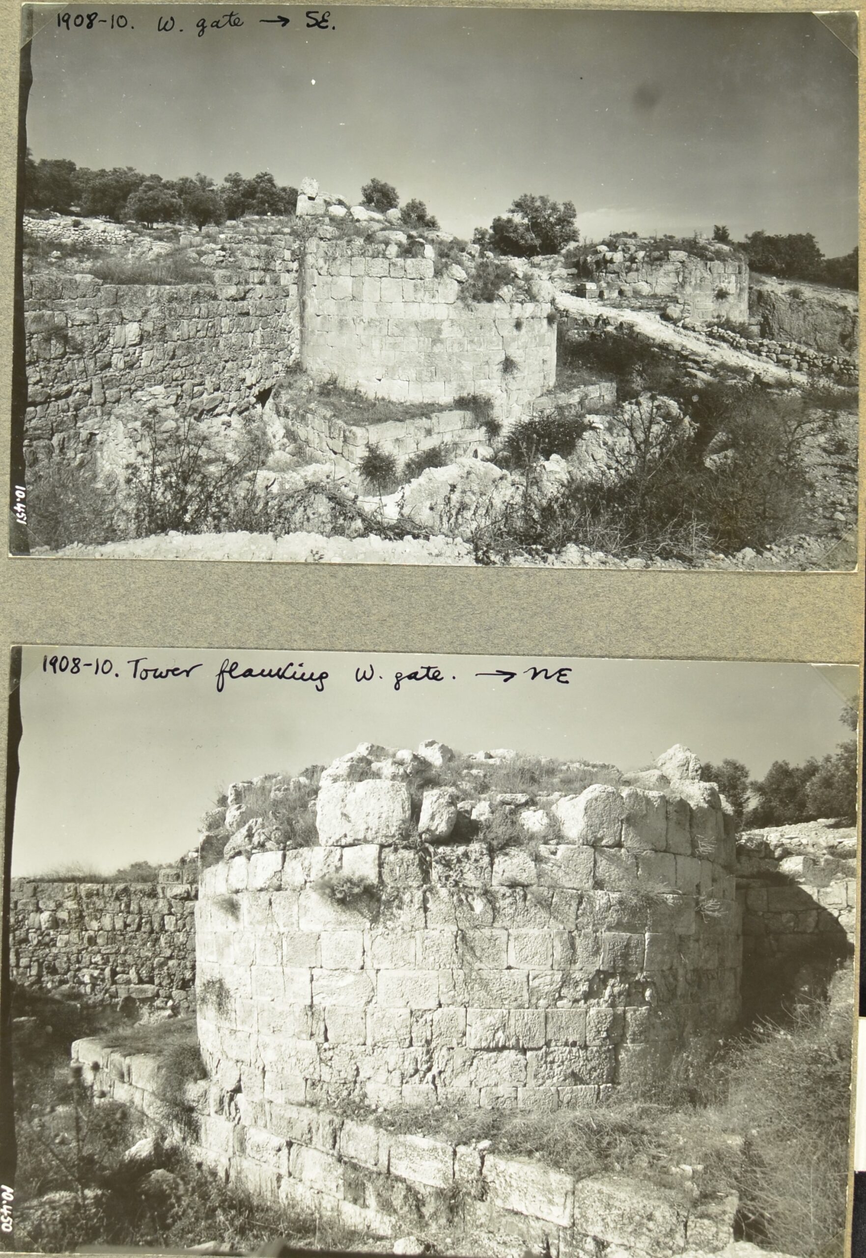 Hellenistic tower on 1927 (Source:iaa-archives.org.il)
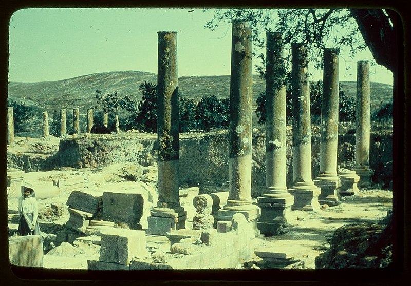
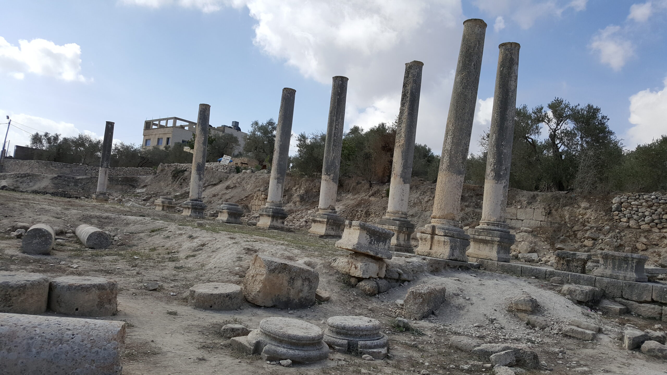 Line of columns on the Roman Cardo (Source: Wikipedia)
#/media/%D7%A7%D7%95%D7%91%D7%A5:2016_WLM_-_OVEDC_-_Roman_columns_by_Sebastia_020.jpg)
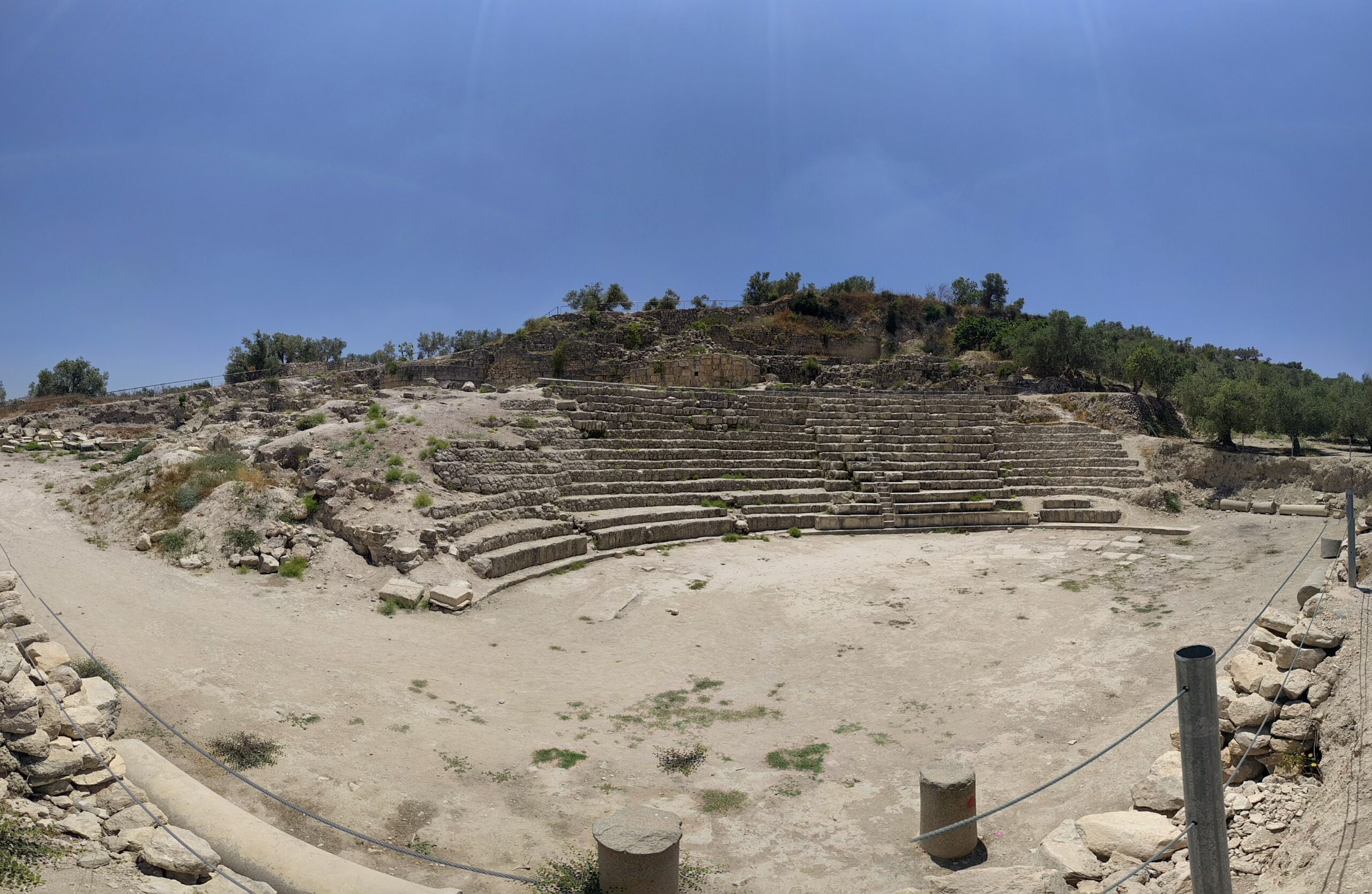 Panorama view of the Roman theater in Samria (Source: Wikipedia)
#/media/%D7%A7%D7%95%D7%91%D7%A5:PANO_20170613_125649.jpg)
 The stairs to the roman temple (Source: Wikipedia)
#/media/%D7%A7%D7%95%D7%91%D7%A5:2016_WLM_-_OVEDC_-_Shomron_capital_of_the_Kingdom_of_Israel_052.jpg)
 Ruins of Samaria – 1950 (Source: Pikiwiki)
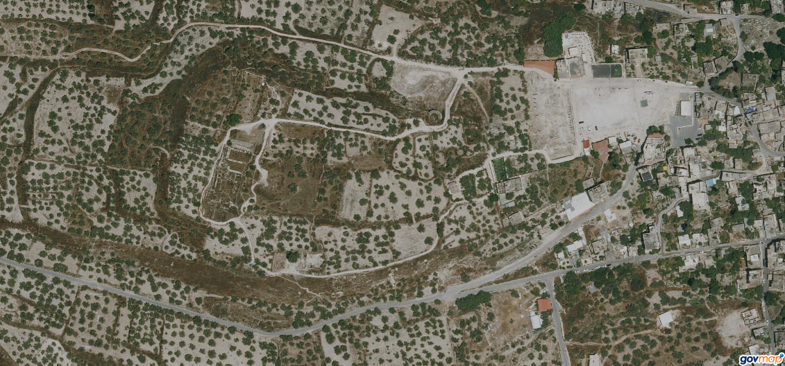 Arial view of the site today, you can easily recognize the locations marked on the map below (Source: Govmap.gov.il)
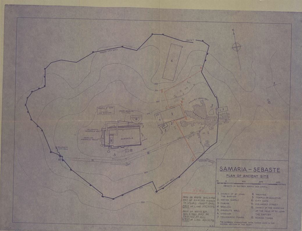
Samaria – Sebaste – plan of ancient site (Source:iaa-archives.org.il)
loading map - please wait...
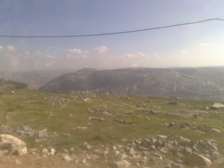
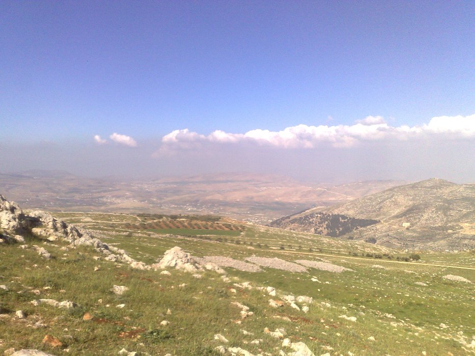
 Nablus (or how we call it Shchem), on the downhills of Mount Gerizim
 The top of Mount Gerizim, in its east side
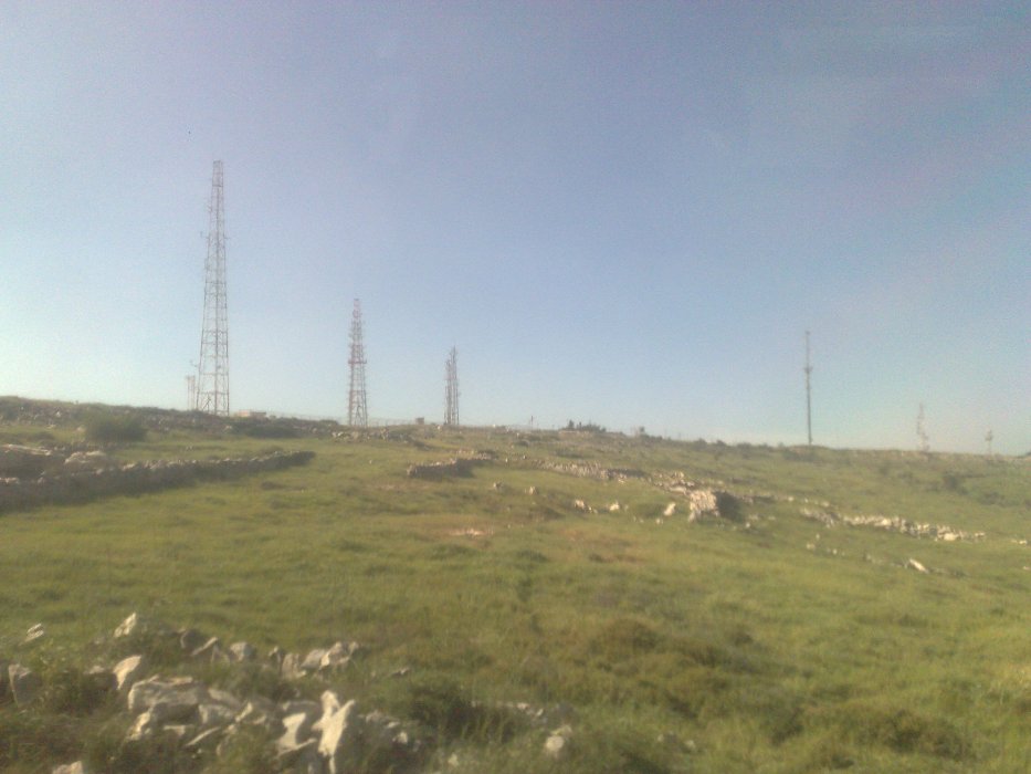 The post on top of Mount Ebal
 The only settlement that ever existed on Mount Ebal – A Persian farm
 The ridge east to mount Ebal and the settlement on it – Elon_Moreh.
 The ridge east to mount Ebal and the settlement on it – Itamar.
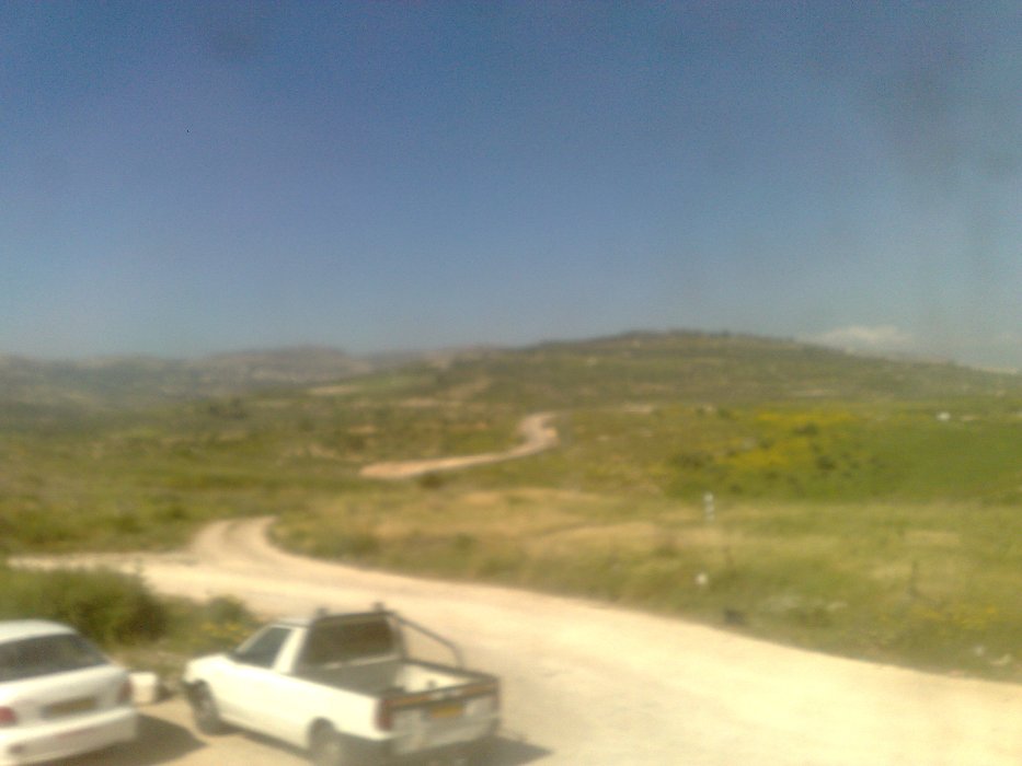
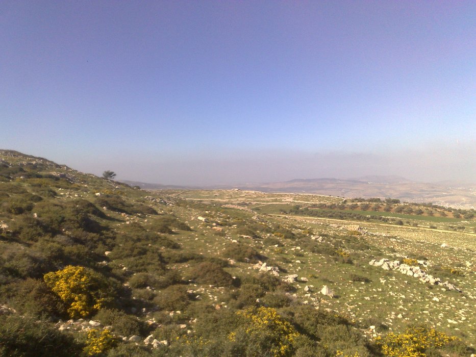
 The view to the North
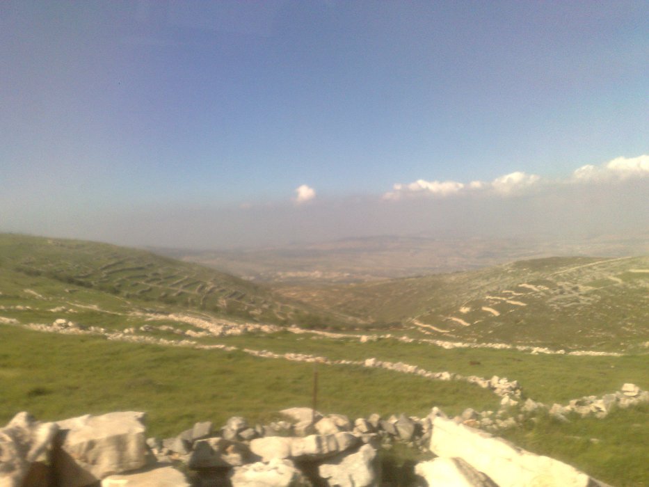
 The altar of Joshua on the distance
loading map - please wait...