
Hi,
We were looking for a short walk not far away and we found Tel Gezer, to which I never been ![]()
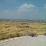
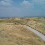
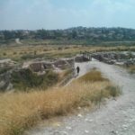
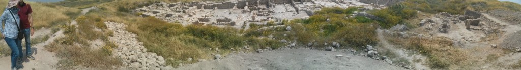
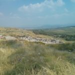
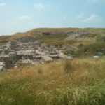
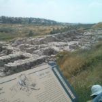
This Tel is an archeological site, and it has one km walking route on top of it, but totally exposed to the sun. You also get beautiful view on the center of Israel with archeological sites and good explanations on it. You can come dig if you like, the site is still being investigated.
Take care
Gad
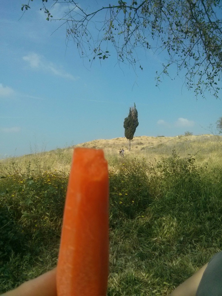
 Tel Gezer. In Hebrew Gezer means carrot
![]()
The site extends over 130 dunams, but the walking tour is only a km long. The site was recognized by Clermont-Ganneau in 1871, and Macalister excavated the site between 1902 and 1909 on behalf of the Palestine Exploration Fund.
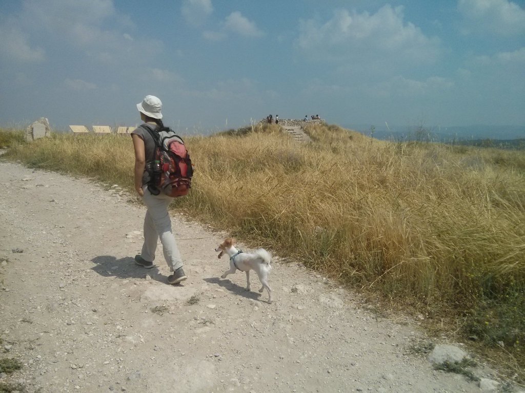 Atzva and Xuxa on top of the Tell, It has 26 layers (3500 BC till 100 AC). The city used to stand on the way that split from Via Maris. It is also mentioned in the bible in the Book of Jushua.
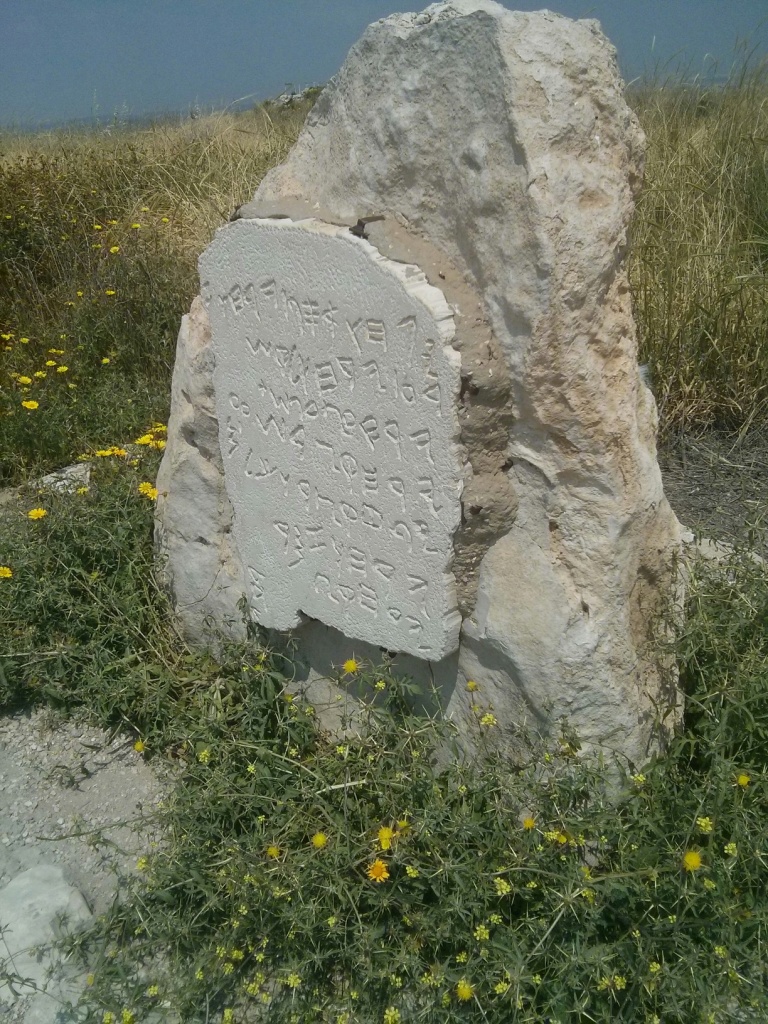 A replica (the original is 7*11 cm) of the Gezer calendar on site from 10th century BC, probably telling about the agricultural dates of the year. Gezer is mentioned in letters from the 15 century BC.
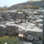
The Canaanite Gate – The gate of the Canaanite city that was connected by a wall to a gigantic watchtower. The gate is a typical of this period; it is constructed of mud-brick on a stone foundation, and it is preserved to the height of 7 meters. Hugh stone pilasters protruding into the passageway narrow its width. On the outside were wooden doors that did not survive. From the gate, the city wall continues left and connects to the remains of a gigantic watchtower. The tower was about 16 meters width and more than 20 meters long! It is the largest fortification of its type in Israel.
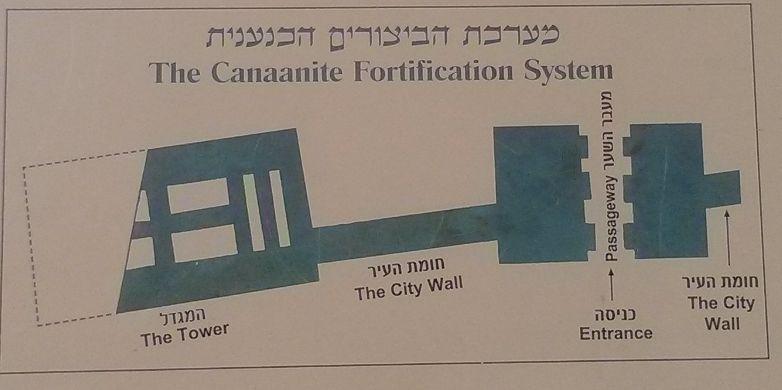 A schematic layout of the Canaanite fortification system

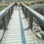
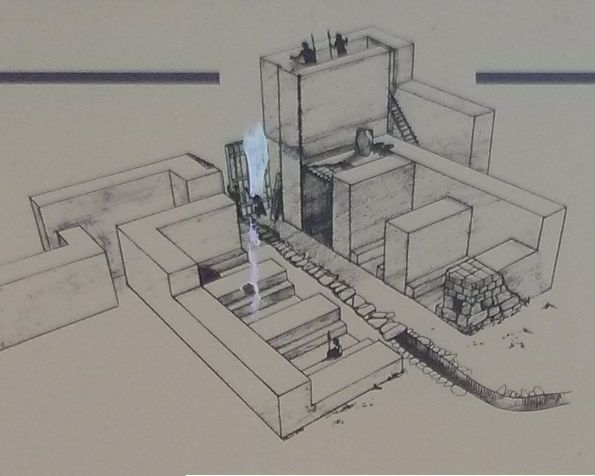
The water system – The people of the city dug it to reach the aquifer water that stands 40 meters below surface. The water system built from an open part and from a tunnel that stretched for 40 meter long with cave and basin for the water. The people of the city used it both on war and peace times. Since Macalister excavation in the early 1900’s, the tunnel was filled up to its half with mud. The new excavation, started in 2010 are aimed in cleaning the tunnel.
“Solomon’s Gate” – you can see the corner of the explanation sign. The southern gate of the Israelite city. The gate consists of three rooms on either side of a passageway. A stone bench lined the walls in each side of them. In the room to the far left a large stone basin was found. The floor of the passageway had rainwater drainage channel covered with paving stones. On both sides of the gate’s outer opening, towers were incorporated into the city wall. The gate, very similar to those discovered at Hazor and Meggido, was probably built in the 10th century BC. It shows evidance of a major fire, which can apparently be attributed to the violent conquest by Pharaoh Shishak in 925 BC.
The connection between Hazor, Meggido and Gezer is also reflected in the following versed that describes Solomon’s building activities: “And this is the account of the forced labor that King Solomon drafted to build the house of the Lord and his own house and the Millo and the wall of Jerusalem and Hazor and Megiddo and Gezer” (1 Kings 9:15)
 Atzva looking North
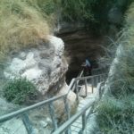
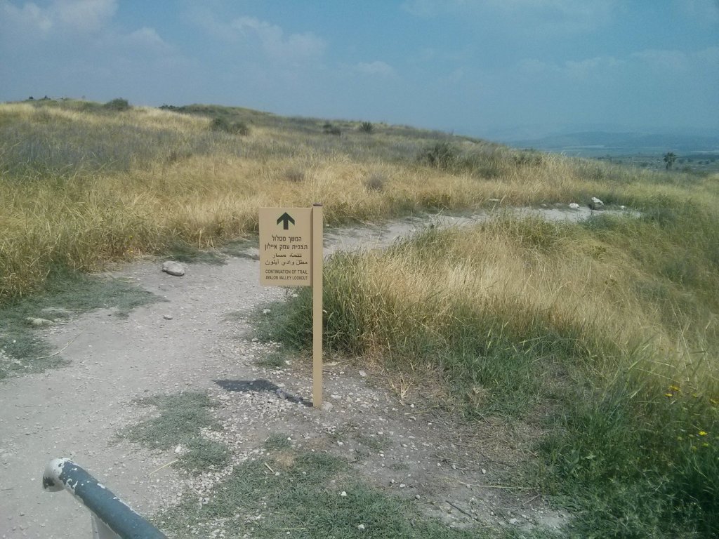 One of the signs around the site that leads you easily from point to point.
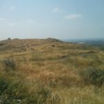
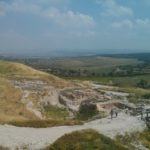
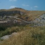
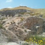
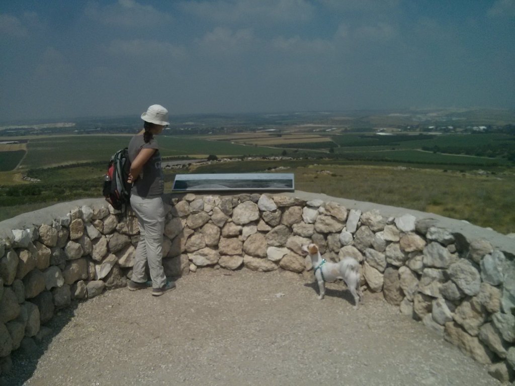
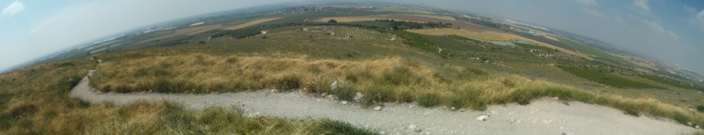
Looking on the site from one edge to the other, and the other way
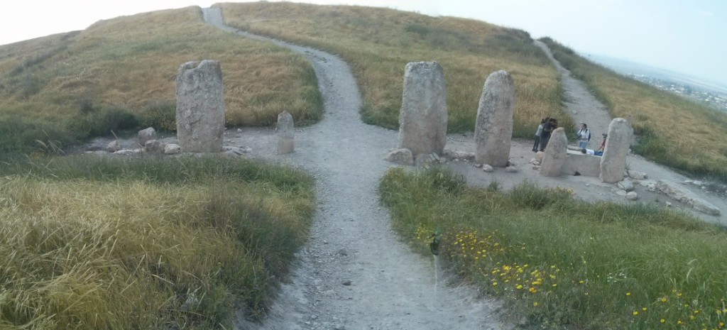
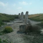
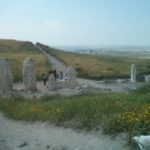
High Place – Monolith Temple
A shrine area including one stone basin and 10 monoliths each different from the other in size and shape. Scholars believe the temple served as a venue where alliances between tribes or city-states were forged or renewed. The 10 monoliths may have symbolized the city of Gezer and nine allied cities in its vicinity. The basin may have served as a container for a blood libation poured during an alliance ceremony. A ritual of this type is described in the Bible after Moses brought the Ten commandments down Mount Sinai (Exodus 24:4-6).
 Sheikh‘s Tomb – This structure is a remnant of the a sheikh’s tomb, apparently built before the year 1600 AC. It is believed to be the tomb of the Sheikh Mohammed al-Jazarli, in whose name the ancient word Gezer is preserved. This tomb was sacred to the inhabitants of Abu-Shusha, a small village that was located on the southwestern side of the tell.
Abu-Shusha means in Arabic “Father of Shusha”. For I am the father of Xuxa (you say it “Shusha”), it means that is my village ![]()
Looking West and Southwest with explanation panels
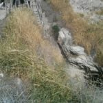
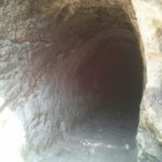
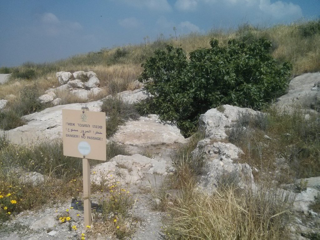 A sign says “Do not enter” and a fig – That must mean there is a beautiful cave down there
 ![]()
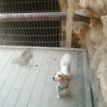
 Jannaeus enjoying the nature – although he is now on a jump stage, meaning he eat all the time and cry when he doesn’t eat.
loading map - please wait...