Hi,
7 mills is an historic site and I have been passing through it at least an hundred times, but never looked in. The place is on the Yarkon River, only A km away from my house.
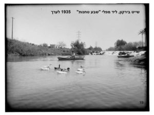
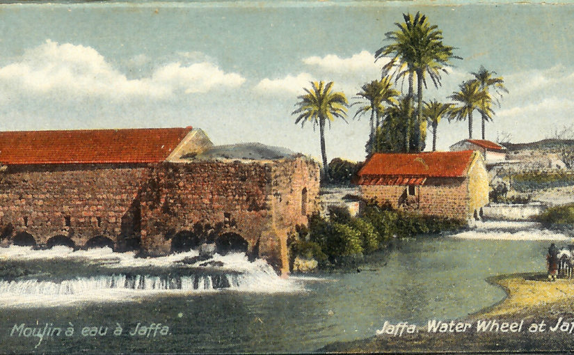
The seven flour mill was in use for of centuries of years: since the Ottoman era. The mill of the village Jarisha (“grinding”) was placed here around a large pond. a stone weir was built to provide the water pressure to run the 11 milestones, each grained about 50 kg per an hour. The mills were hosted in 3 buildings, 7 of the milestone were in Western larger building, and it gave the site its name. The mill complex was constructed on the foundations of an ancient flour mills, adjoining an arched bridge. The arches of the bridge has been preserved in the building of the mill. Farmers from all around area came to grain their wheat, spending hours and even days here. For that the place was a significant agricultural spot and a cultural center. People had enjpyed the boat, dock and coffeehouse was built here. The workers of the mills were the people of the village Jarisha, that no remains were left of it.
In the 1920s the milestones were bought, but could not hold in the competition against the new milestones and it was closed in 1936. Now days a concrete bridge and ford are crossing the Yarkon river, built over the rest of the ruins ancient Roman bridge. The ruins of the milestones, the weir, and the pool. The place hosts many types of birds and fish.
This point has some sea water in the river. Only some kM from the springs of the Yarkon is clear. In Abu-Rabah, treated water are added.
Jannaeus, Xuxa and I spend many mornings around this spot.
P.S.
I have joined the monthly tour. So I have added some new pics and info 🙂
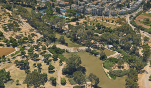 A 3D view of the site (Source: Simplex.com)
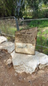 Seven mills – the flour mill “Seven mills” (Jarisha) is one of five mills that worked along the Yarkon river. The complex was dig and uncovered in 2000-2001 by Yesu Dray’s.
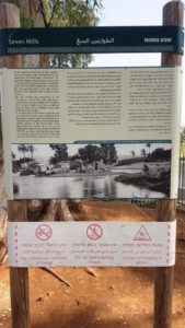 And one more detailed
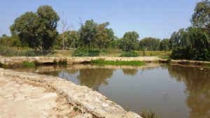
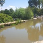
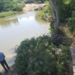
The pond. The arches of the ancient Roman bridge can be seen. The are flowing through them and in the past used to spin the milestones.
The rest of the water flowing in the river are pour over the edge of the weir
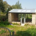
A new reconstructed flour mill with the millstone. The top is a rock from the Golan Heights while the bottom one is a local limestone.
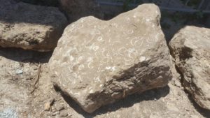 The weir and the bridge are built on a natural Kurkar ridge. In this stone you can see nicely the shells in the stone.
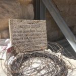
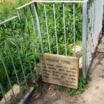
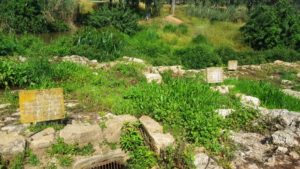 Explanation signs on the ruins of western building of the flour mill
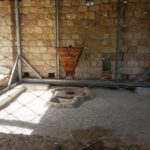
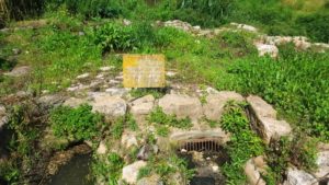 Service openings – opening were installed in the floor of the flour mill, which used to stop the flow of the water in case it was needed.
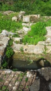 The western building – Hosted 7 stone mill and 3 tunnels to the water flow
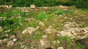 The stone mill
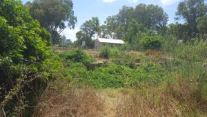 The western mills output
The western mills output
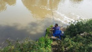
A fisherman enjoying the quiet and fish of the place
The north mill
The north mill entrance
The water going out from the north mill
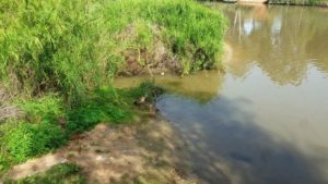 Egypten goose – Israel is not part of the native range of these birds
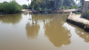 The Pond, Mallards and the new concrete bridge on the river
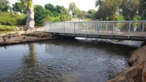 The concrete bridge in closer look
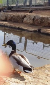 A Mallard didn’t run away and let me picture it
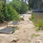
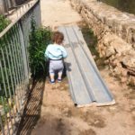
The customer route – the head of the wall around the pond was covered with stone plates and old unused mill stones, to allow the costumer easy access to the flour mills. Jannaeus walked along it and checked it is OK.
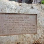
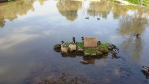 The explanation sign about the pond. This a column of the Roman that bridge here
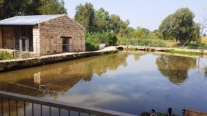
 The pond and the reconstructed flour mill. During 1936-1939 Arab revolt, gangs used the place as a base to attack near Jewish cities (i.e. Ramat Gan). To prevent it the British took over it and used it as a base. In 1948, when they left, they throw everything into the pond. In 1950’s some youth guides took out hand grenades and got hurt when they exploded. PM Ben gurion ordered the Engineering corps to clear the place from explosives, and they used it as a place to practice – and all the building that were left here exploded.
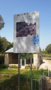 The sign about the construction of the building behind it, that will be used as a visitor center.
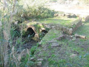 The foundations of the central flour mill nowadays
 Xuxa after running in the mud
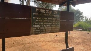
A 30 minute guide is taking place every 1st Shabbat of the month, every half an hour between 10:00 and 13:00.
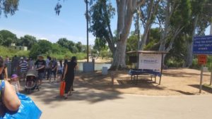 Avshalom institute monthly tour
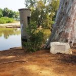
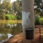
Historical measuring device – This device used for measuring the flowing of the water in the river, it is a remain from the glorious days of the river when 30,000 cubic meter of water per hour. In big floods it got up to 1,000,000 cubic meter per hour, those happened in 1955 and 1992. Those days 300 cubic meter of Sewage treated water are run into the water. While 2,500 of clear water are needed to recover the river.
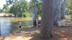
The column was in the water when it was built, The tour guide shows point at the level of water
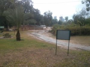 The ford of 7 mills when it is flooded
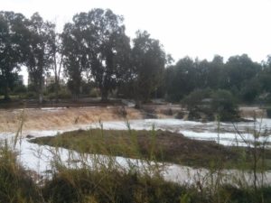
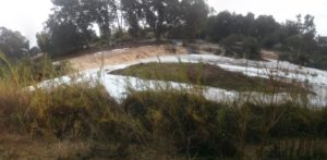 7 mills from the other bank in days of flood. There used to be a nice steel and wood bridge with decorative steel fence. It got flushed with the floods each winter, what led to the solution of an Irish bridge.
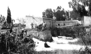
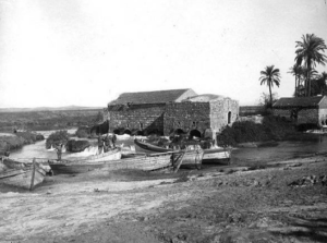 The place in 1917 (from wikipedia)
 The place and the housed of the village Jarisha
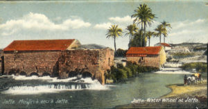 A colored photo of the site (from the parks site)
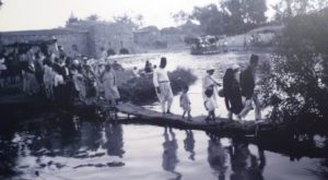 Yemen Jewish visiting near 7 mills in 1926 (from tlv100.com)
 visitors on site – 1928 (from tlv100.com)
