
Hi,
Well When I started running along the Raging part of the Jordan river, I passed through Metzad Ateret castle. It was too dark to see anything, and I anyway planned on running before visiting the castle :-).
The castle was built by the king Baldwin IV, in April 1179, after the knights templer demanded it for the defense for the important passage of Daughters of Jacob Bridge to the land of Israel. The passage is About 1 kM north of here, and it is used for thousands of years, just before the the Jordan becomes the Raging Jordan river. The castle was conquered in August 1179 by the Muslim warriors of Salah ad-Din (which in 1187 conquered the crusader Kingdom of Jerusalem).
The name Metzad Ateret is made out of the Hebrew word for a small castle (Metzad) and from the Arabic word for failure (Atra).
For me, as a constructor specializing in earthquakes, the place has added value for me. The castle sits on the Syrian – African rift. The castle was already standing when the 1202 and 1759 earthquakes. Those earthquakes caused a clear shift in the walls of the castle! The geological rift between the two geological plates divides the castle into two areas, one on the Arabian plate (on the East side) an the other on the part African (Nubian) plate (on the West side) called the Sinai plate.
The plates are slowly moving one against the other. The friction between the plates can released in a earthquake, but even if not the plates are still moving. That movement can be clearly seen on the walls of the castle. The accumulating movement on the walls of the castle are 2.1m! The movement also shows how one plate moves north (The east – Arabian plate) and the other plate moves south (The west – Sinai plate).
A later mosque built on top of the castle later than 1517, and the damage of the the earthquakes later than that date can be seen clearly. The movement in the walls of the mosque is only 0.5 m. Showing the difference between those periods of time.
I came from the South, but if you will visit the place you will probably enter the site from the North. I rearrange the photos entering the castle from the road. I also added a map showing were the pics were taken.
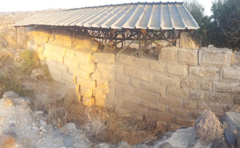
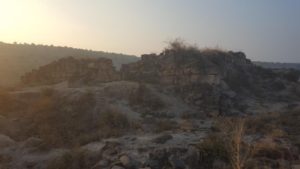
 Metzad Ateret from South
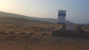
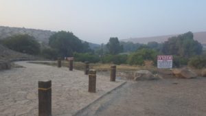
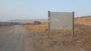 The sign on the entrance to the Raging Jordan river road
 The place is now a under construction, in order to make it more accessible. You can see the preparation for sign, like the one on other sites (like Sussita).
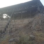
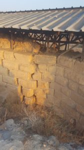
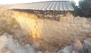
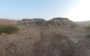
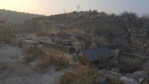
The North wall of the castle. On the left you can see a clear movement of the walls.
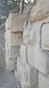
Closer look on the movement of the North wall of Metzad Ateret. Don’t be mistaken – in order to see the whole 2.1 meter you have to look from above.
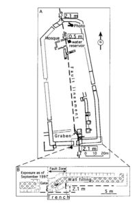 The castle map with the fault lineament , showing how the castle walls moved 2.1 meter. (pic from Crusader castle torn apart by earthquake at dawn, 20 May 1202 – Ellenblum et al 98)
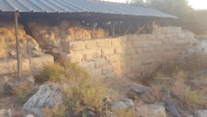
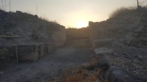
The north wall from the inner court, with a canopy over the location of the wall movement
Entering the gap between the wall (on the right) and another building (on the left)
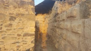 The gap between the wall and the building you can see clearly the difference between the two building walls.
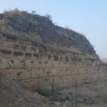
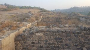
The north wall from the inner court. Here you can see clearly the 2.1 shift made by the rift.
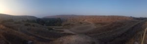
 Closer look on the north wall from the south
 And from the other side.
 The mosque on top of the castle
 A handful of Drimia
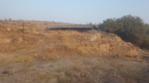
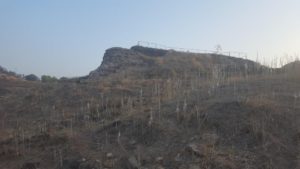
 The castle from the south
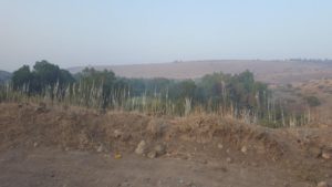
 A cow and behind here the Kfar HaNssi lake for the hydroelectric power plant
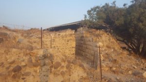
 The south – western tower from the south
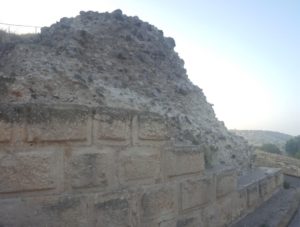 A closer look on south-western tower, see how the limestone outer walls defending the inner basalt fill.
 An 1 meter width opening in the west wall of Metzad Ateret. There one more in the north and east walls. Some assume that those are openings for future doors. Other say those might be opening for a larger court surrounded by another wall (if this is the case the castle would be very similar to Belvoir Fortress)
 Looking west from the castle. Down below there used to be a moat around the castle.
 Part of the flour mill in the south-east corner of the castle
 The vaults in the east side of the castle
 Looking north-east from the south wall into the castle court.
Looking eastward down on the Jordan river.
loading map - please wait...