Hi,
After we went down to the Yarmouk river stream, we climbed up a bit to the Hejaz railway tunnel. More accurate – Jezreel valley railway, which was a branch of The Hejaz railway and connected to it in Daraa (Syria) and run to Haifa. While the Hejaz railway run from Damescus to Medina and was built at the time The Ottoman Empire.. It is named after the the Hejaz region of Saudi Arabia. It was the second railway to be built in Israel, after the Jaffa – Jerusalem railway opened in 1892 (you can see more in the post on The railway track system in Israel in WWI)
The tunnel is 280 long and the first one to be built in the modern times in Israel. This part of the railway (Daraa to Tzemach) was a hard work of engineering: 73 km long with 529m height difference along the slopes of the Yarmouk river. The result was 8 tunnels (1,100m long) and 329 bridges and water crossing (pics of some of it here and here). Among those was the second Yarmouk bridge (Jaser-el-Hawi). 130m long it was the longest bridge built in Israel until 1918. We had a nice walk to it about a year and an half later.
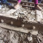
Along the way you can still see the original railway with the they were cast -1903. Unlike most of the valley railway, this part was untouched, the amount of steel was not worth the hard journey here.
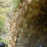
The end parts of the tunnel are built as horseshoe arch for the Conglomerate stone is not strong enough to hold itself. While in the middle part the tunnel is chiseled in the hard Basalt stone.
Around the middle of the tunnel the bats wake up. They fly around screaming and twitting in high voices. You better watch your step here, for the floor and the tracks are covered with bat droppings.
By the way, when I asked Jannaeus (2.5 years old now) what did we saw today he too was very “thrilled” by the hike: we saw a excavator that did work….
You can find more pics in this link
Take care
Gad
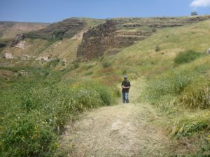 The entrance to trail along the railway
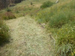 The first piece of railway
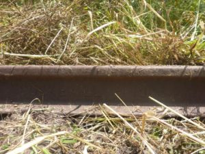 The manufacture and date on the railway tracks
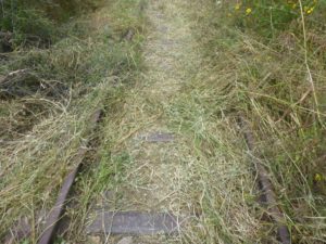 The railway forward Haifa
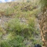
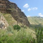
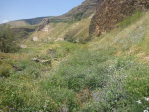 The cliffs of the Yarmouk valley and the wonderful blooming that covers the railway – The Hejaz railway tunnel
 The curve of the Yarmouk river
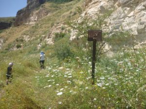 A railway sign. Now it has bolts holes (probably Jordanian snipers)
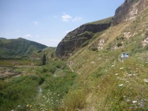 The Yarmouk river, the line of the railway to tunnel and the cliff it went through – The Hejaz railway tunnel
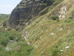 The Yarmouk river, the line of the railway to tunnel and the cliff it went through (in a closer look) – The Hejaz railway tunnel
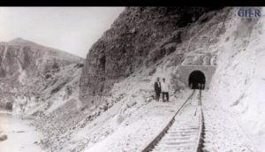 An historical picture of the tunnel from around its opening on 1905 (Source: 4×4.co.il)
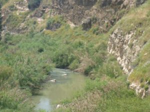
The Yarmouk river cascades
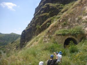 The entrance to the railway tunnel
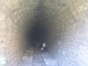 The railway tunnel! This part is of the tunnel is covered with horseshoe arch
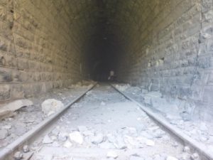 The railway tunnel from the railway level
Going to the other side of the railway tunnel (jump to the middle to hear the bats)
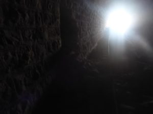 The light in the end of the tunnel
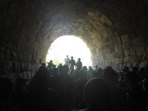 The other side of railway tunnel
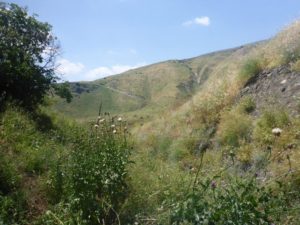 Looking outside from the other side of the railway tunnel
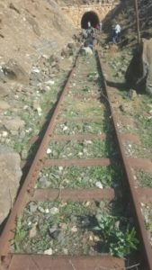 The view on the entrance to the other side of the railway tunnel. We were not allowed to go out there (source: AmudAnan)
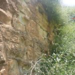
The walls on the entrance to the other side of the railway tunnel
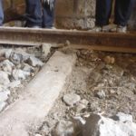
The railway connection details
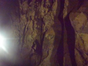
The uncovered Basalt rock in the middle of the tunnel
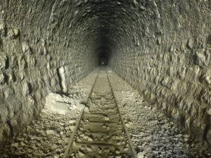 Here you can really see the horseshoe shape of the arch. On the left some of the tunnel stones that fell apart. For a 120 years old tunnel with almost no maintenance – It is in an excellent shape!
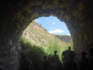 Going out to where we got in
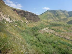
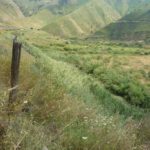
The line of man on the left slope is the railway trail. Down on the right you can see the Jordanian farmers use any piece of land and sit on the water.
Telegraph columns from the time the trains were running on the railway
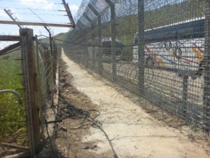 The new and old border fences.
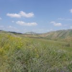
Just a little bit more flowers ![]()
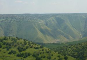 Looking from above on the Yarmouk valley

