Hi,
I packed my running shoes for a weekend on the North. This time I ran along the lower part of Banias stream (Hermon).
The upper part is the more visited part. It is a closed national reserve park (in payment) with a beautiful bridge over the stream and 10 meter high magnificent waterfall.
The spring itself is a different spot you can visit and enjoy the cold water, (only 15 degrees) that flow for 5 days from mount Hermon melting snows.
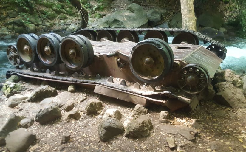
But don’t me wrong, the lower Banias does not fall behind with other: first it is less visited and more quiet, it is free and you have a nice attraction in it – a Syrian tank lying on the water. Just take into account the lowest part is a nature reserve which not allows to walk along the stream, only to enter at specific points.
The name comes from the greek god Pan. The stream start from a big spring which a big city was called Panias (for Pan) during the ancient Greek Era. In Arabic it is hard to pronounce P, so it is changed to B, and you got Banias. In Hebrew it is called Hermon, but Banias is more common.
Take care
Gad
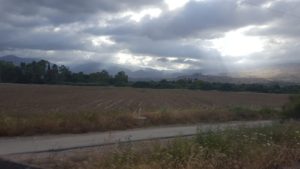 Cloudy weather is best at this time of year, as it to hot
 ![]()
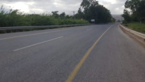 The turn to the trail. The sign says Nabi Hodya
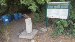 First, out of many, access points to the water. Those are marked clearly with signs
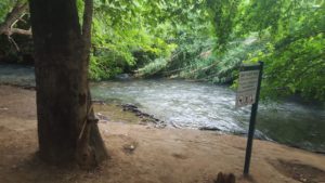
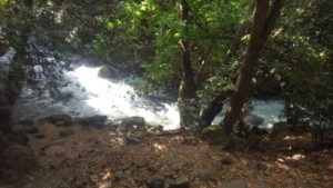
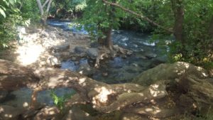 The Banias stream – one 3 streams creating the Jordan river
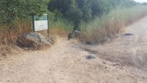 The entrance to the red hike route. This one gets closer to the water than the black route, but still keeps a distance
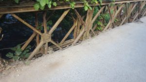 An old Bailey bridge over the stream (the route does not cross it, but it always nice to have a look 😊)
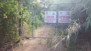 “Danger! Drawning Hazard!”. Pretty scary, but don’t worry – just look to your left 🙄
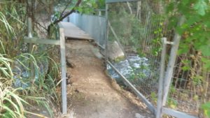 On the left – a bridge, from that point the trail runs on the stream.
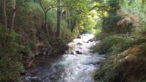 Looking up the stream from the bridge, you can see the creek you get in to.
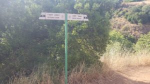 After climbing up from the creek, you can either go down to Syrian Tank or go back. The way out is marked as emergency way, but maybe you can get from there.
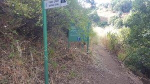 I, of course, went down to Syrian Tank
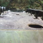
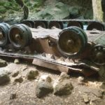
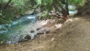 Just lying down there, a T-34 Syrian Tank, overturned in the water.
This tank is part of force attacked Kibbutz Dan West of here on the second day of Six Day War (06.06.1967) and included 6 Syrian tanks, and hundreds of commando soldiers
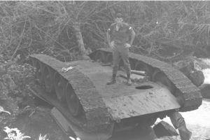 The syrian tank on November 1967, when it been first found out. The soldier on top got in and took the shells out.
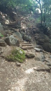 The steps going up from the tank. The creek walls are about 70 m high at that point.
The view from the top, over the stream creek to the west
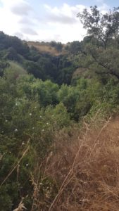 Para water far away, In the winter it is impressive, but now only a drip of water flows
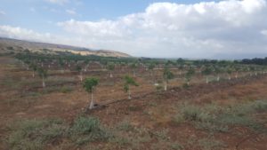 On the way back on the black hiking route – Rows of rows of new planted trees
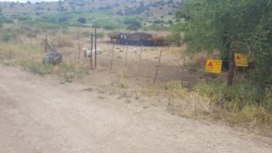 Cows and dogs behind “Mined area” sign…
https://israelhiking.osm.org.il/share/KMJ9mgQPrD

