Hi,
We packed ourselves for a nice morning “hike” to the Sataf spring in Jerusalem mountains, where we met Nathan and his child Sosna (a bit smaller than Mindal), Saba, Savta and Fatma (my younger sister).
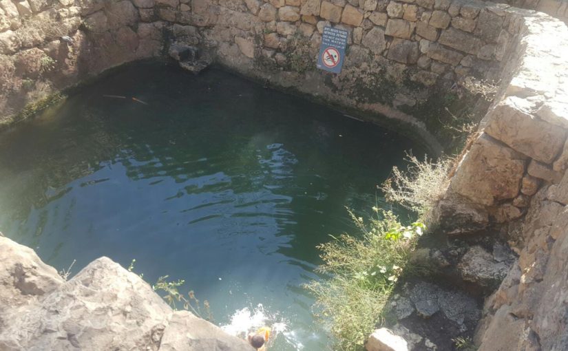
The place is being facilitated by JNF as a nature park, with two spring in it: The sataf spring and Ein Bikura. The two springs were used by the Arab village Sataf which its ruins can still be seen between the the springs.
The people of village abandoned it on the War of Independence in 1948 and were not allowed to come back afterward. during the 1950s and 1960s the place was used as a settlement, an army base, a military training area. The building were demolished during the 1960’s, unlike the village of Lifta who tells the same story but its building still standing.
During the 1980s the JNF arranged small areas for agriculture, that were leased for Jerusalem citizens to grow vegetables. The project still run and you can walk around those fruit and vegetables watered by the spring.
Spending those hot summer days just lying down by a spring, rest and cold down by getting a bit wet is very typical for the people of Jerusalem to do. As they have no nearby sea, this is the source of water they have. Don’t get me wrong, as ex-Jerusalem citizen I still like it. Maybe even a morning on the beach ![]()
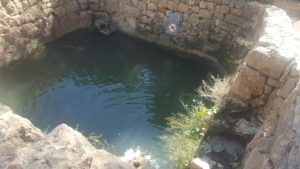 Still half full of water at the end of the summer
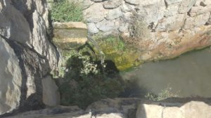 The small water fall that feed the pool
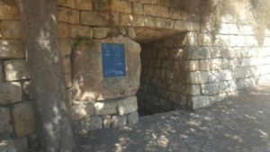 The upper entrance to the gathering room and the tunnel that was dig to better gather the water from the spring
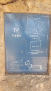 The drawing next to the top entrance showing the water system (and drawing is at the exit from the tunnel)
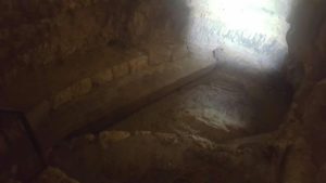 The pool at the top entrance and at the end of the tunnel
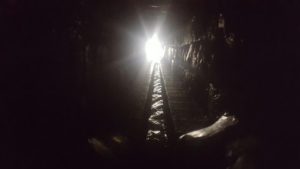 The light at the end of the tunnel that leads the water from the inner gather water pool to the external one
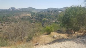 The view of Jerusalem mountains
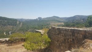 A wall from the village ruins. The big Complex building is Hadassah Ein Kerem Medical Center
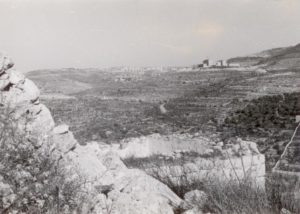 A picture from the village on Hadassah Ein Kerem Medical Center on 1966 (Source: Gad Freudentha)
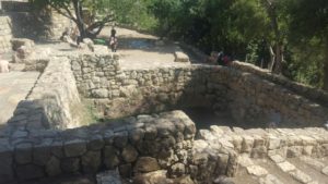
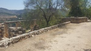 The village ruins
 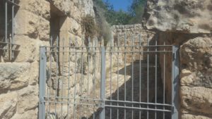 Closed
 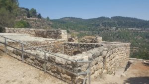 and fenced
 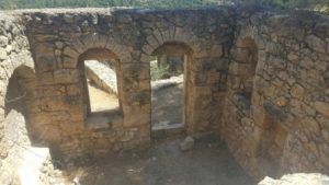 Looking inside what used to be an house in the village
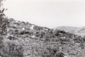 A picture on the village ruins on 1966 (Source: Gad Freudentha)
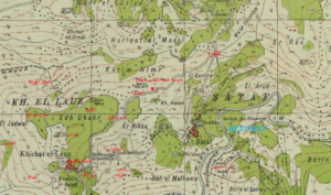 A map from 1933 showing Sataf village

