Hi,
On the way to the “End of Summer – Brothers and sisters – Birthday” camping in Ein Harod we stopped for a while in Kantara bridge crossing Harod stream and has a small waterfall (Kantra is an arch in Arabic, and the bridge is named after its 3 arches).
It is an old bridge made of Basalt stone and used as an aquaduct to flow Harod stream over the creek to the fields north of here (the creek is about 20 m below the surface and does not allow easy watering of the fields)
The bridge is from the Mamluk time (which conqured the valley and the whole area around 1260 on Ain Jalut battle). During the British mandate a ruined arch was rebuilt and the bridge has been reused. After the war of Indenpendence the bridge was used to water the fields of kibbutz Sde Nahum.
On the south side of the bridge there was a wall of Travertine, which created by leaking water from the aquaduct during hundreds of years. The water leave a trace kind of chalk on the walls.
Above Kantara bridge there is a small park with tables for (but no water, so you better bring it with you). Because the place is surrounded by fish pools you can many water birds around.
Take Care
Gad
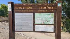
Nahal Harod sign
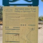
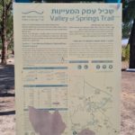
Valley of spring trail signs
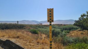
Sirin Wind turbines and the fish pools tower
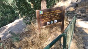
Contaminated water – no bathing, probably (Ministery of health)
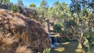
The tartavin wall, Harod stream, the waterfall and Kantra bridge
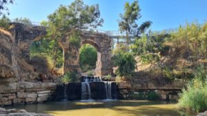
Kantra bridge with the third arch missing and the steel bridge covering the gap, and the small waterfall beneath it.
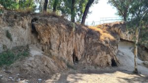
Tartavin wall near the bridge
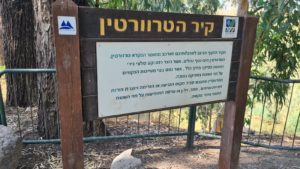
The tartavin wall sign –
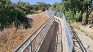
The aquaduct over the bridge looking North
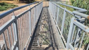
The steel bridge over the lost arch built to allow crossing
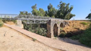
Looking on the bridge from the other side
Kantra bridge

