
Hi,
Just before we had to move again (to the 6th place in this war), we had a small hike to the Bental.
It was about 150m above where we stayed (Merom Golan, which is 1,000m above sea level). 1.4 km long walk we ended with an average slope of 11% 😵💫.
Mount Bental with his brother, Mount Avital, are part of the line of volcanoes of Golan Heights. The shape of the mountain is of a horseshoe, which is what is left from the volcano eruption l. The settlement of Merom Golan is sitting inside the horseshoe (which is the volcano carter).
In the meanwhile, the war in the Gaza strip continues, but the citizens in Israel understand how to live, work, and function in this new reality. More and more schools and kindergartens opens, which allows more people to go back to work.
The bookkeeping of Hezbollah in the northern border of Israel with Lebanon continues as well, although Hassan Nasrallah speech a couple of days ago promised this was Hamas fight.
Take Care
Gad
 Mount Bental from Merom Golan
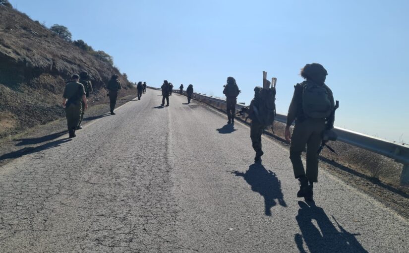
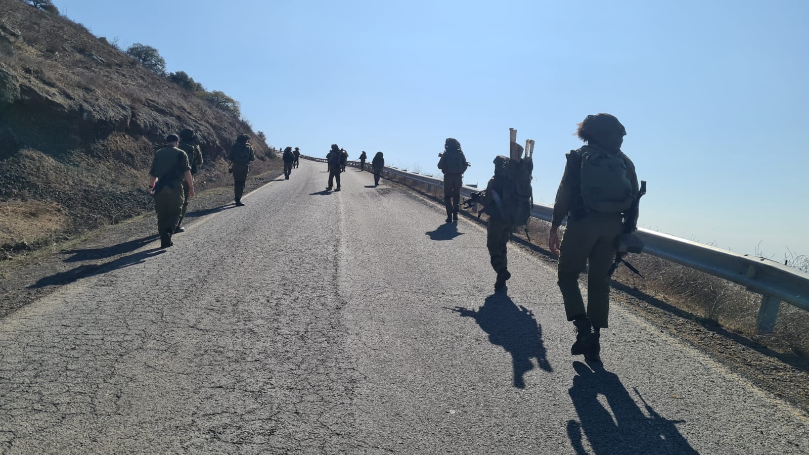 Climbing Mount Bental (a lot steep than 11% slope at this point)
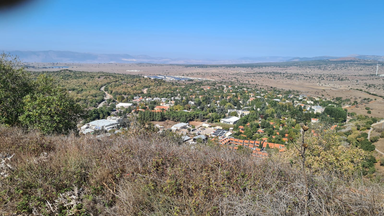 Merom Golan from the Bental (looking north). The settlement is the first to be built on Golan Heights after the Six-Day War.
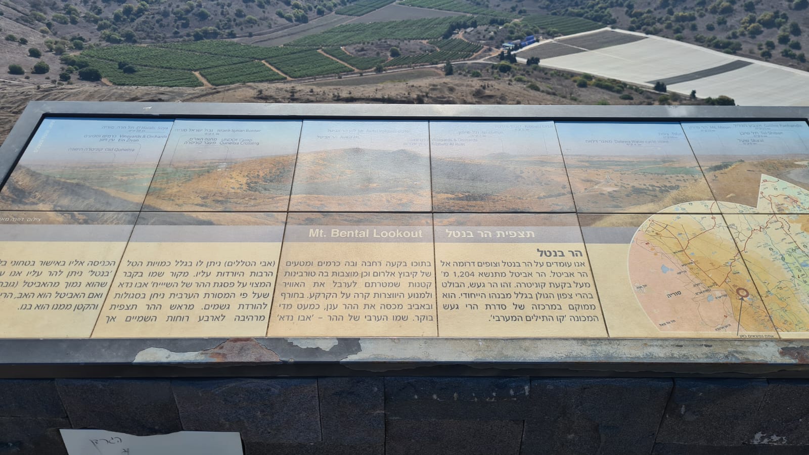 Mount Bental lookout board and explanation on the top
 Looking south east on Israel Syrian border, Quneitra and the Syrian forces headquarters building
 Looking south on Mount Avital (which is not accessible), Mount Bental brother.
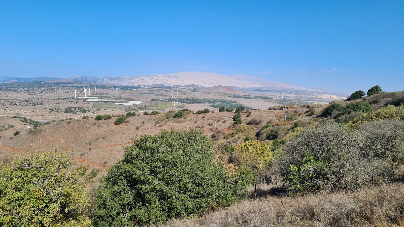 Looking North on the wind turbines on north of Golan Heights and the Hermon mountain
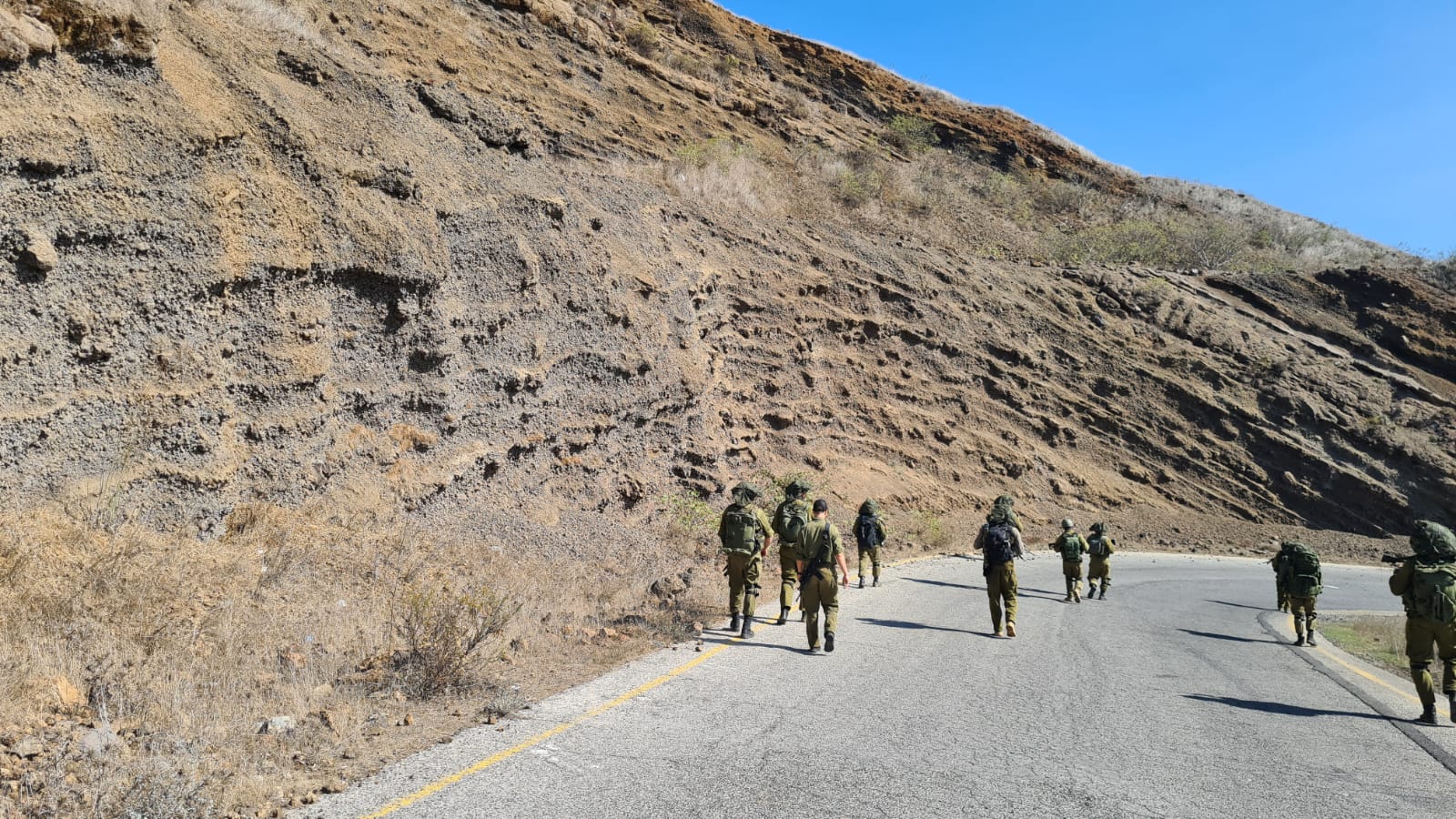 Going down the mountain, look on the geological cut in the mountain made of curved layers of Basalt and Tuff
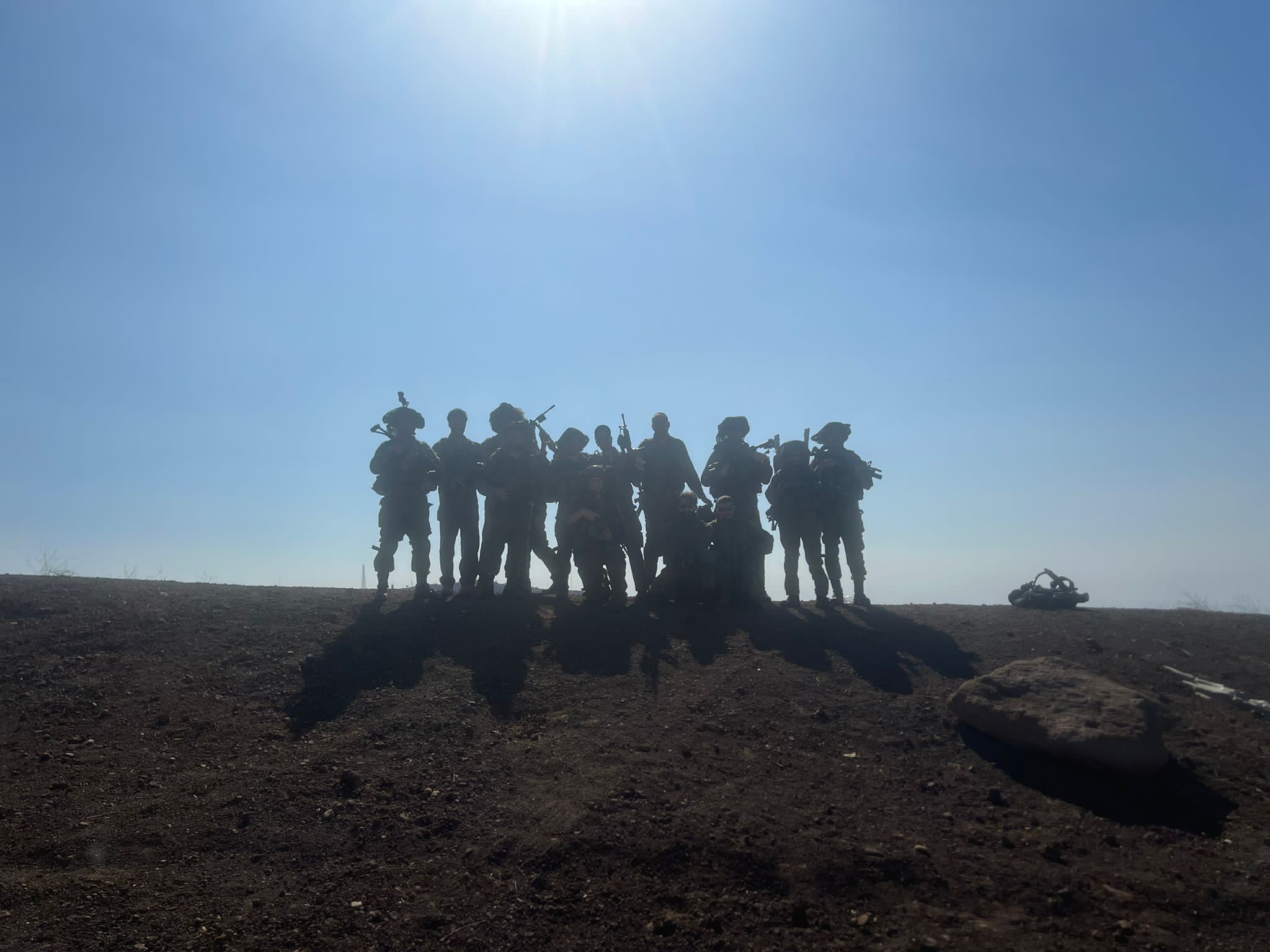 The squadron exhausted on top of the mountain
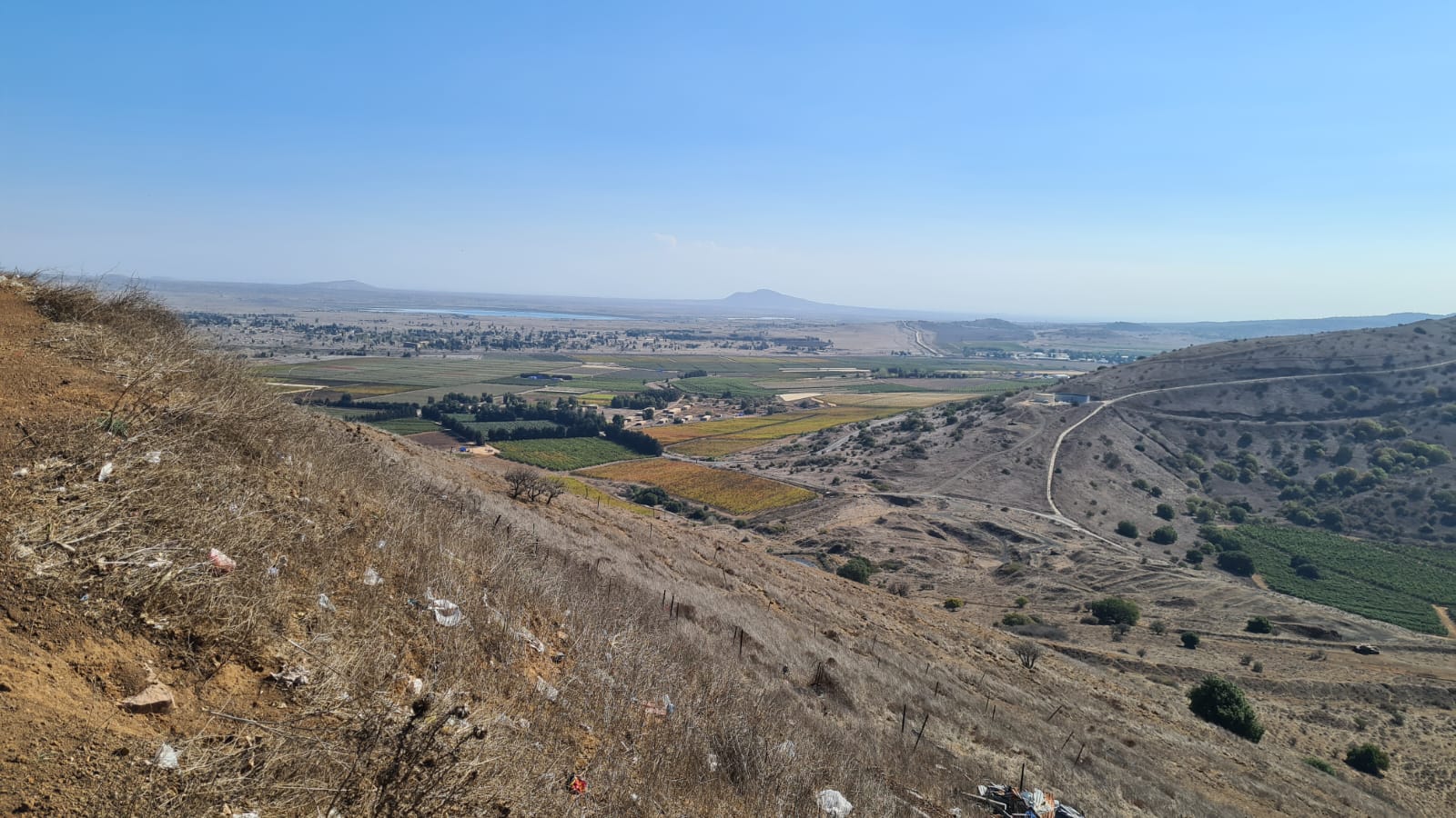
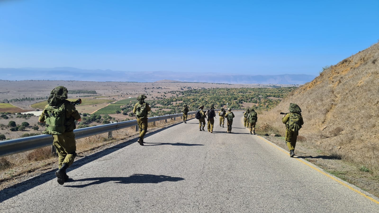 The view west from the way down the mountain
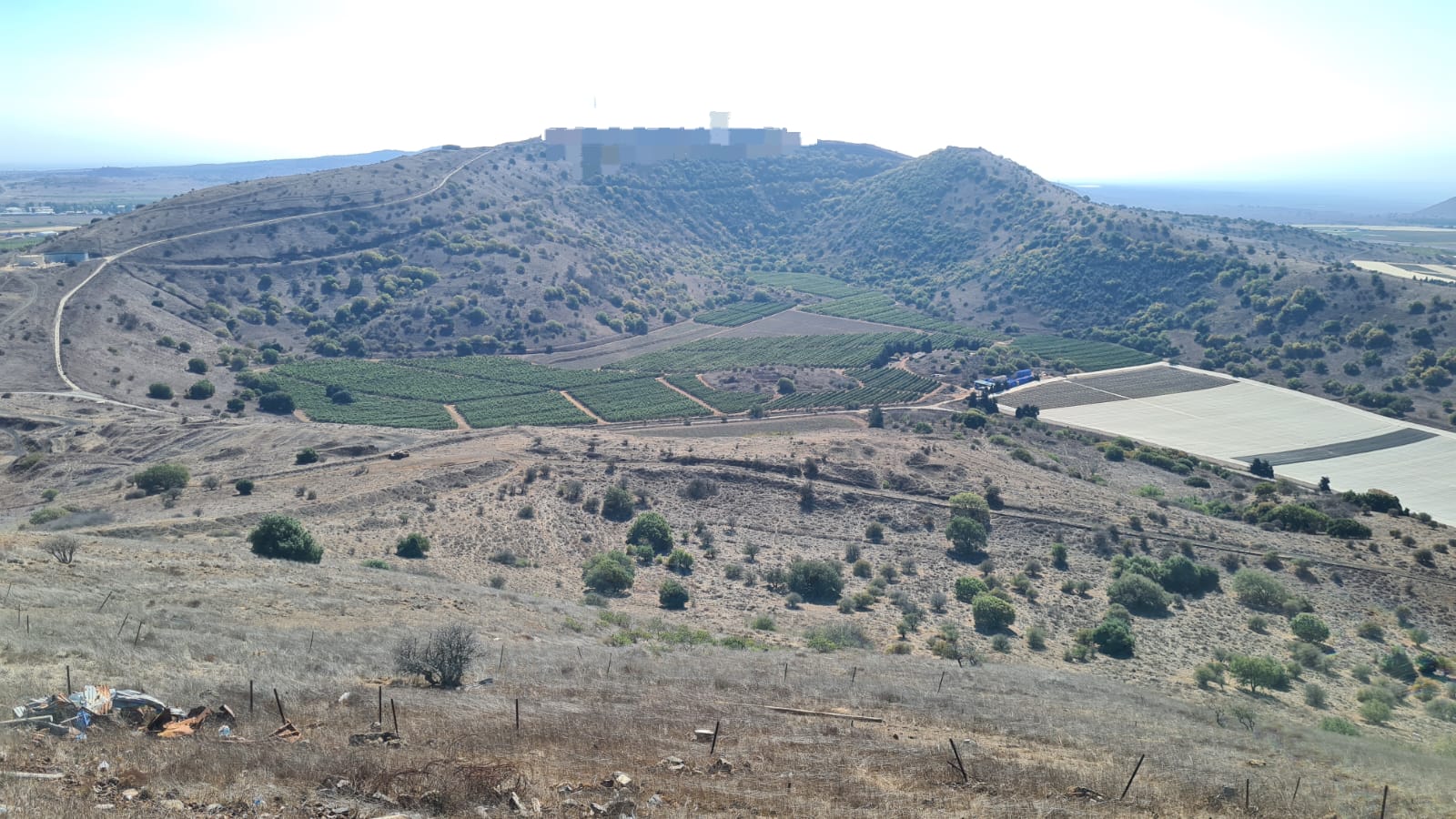
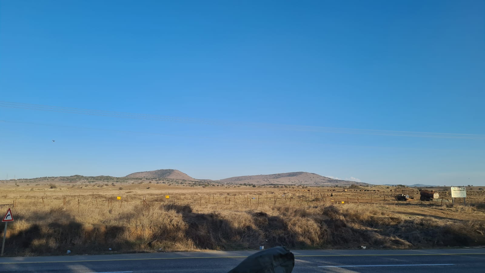 Mount Bental on the left and Mount Avital on the right
loading map - please wait...