Hi,
We were spending sometime in Snir stream nature reserve in this reserve duty period. As many other nature reserves in the north (such as Tel Dan nature reserve), this nature reserve is also closed for the public.
As I wrote to you in my post about the Jordan River earlier, the Snir stream is also called the Hasbani and I excuse me if I will mix between the two names.
Take Care
Gad
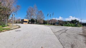 The gate and entrance to Snir stream nature reserve
 At first we thought it is a hole made by a rocket hit, but if you look closely you can see a tree stump
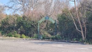 The entrance to the nature reserve
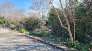 An emergency entrance to the nature reserve
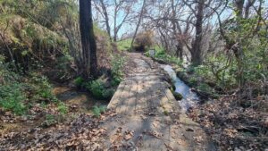 Crossing one of the many Dan river rivulets flowing through the nature reserve. Although this is Snir nature reserve, most of the rivulets you are crossing are of the Dan river.
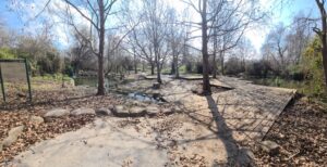
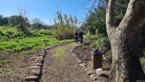 “Hiking” in the nature reserve trails
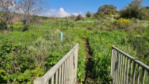 The last bridge over the Nokhila stream flowing to the Snir and the trail up to the Snir lookout (which now is under a threat of anti-tank missiles). The lookout gives a nice view over the small canyon the stream created as it cut through the Basalt plateau. Ghajar bridge is sitting deep in the canyon, but it is north to the lookout and not accessible.
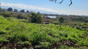 Tapline reservoir from above on the way up to the lookout
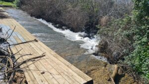 The other bridge over the Nokhila stream on the way back from the lookout
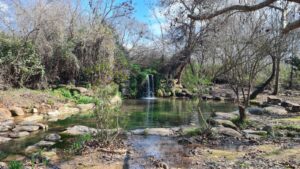 The waterfall in the wading pools of one of the Dan river distributes which flows through the nature reserve.
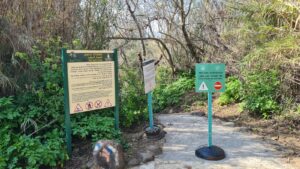 One of the entrance to the wet trail inside the Snir stream. It was closed due to flood Hazard. Down on the rock you can see Israel National Trail.
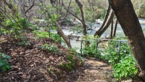 The staircase down to the wet trail
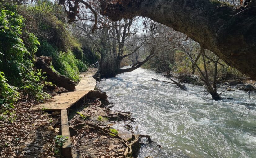
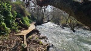 Part of the wet trail (the dry part as you can see) above Snir stream
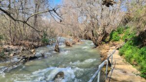 The Snir stream, not as high as it was couple of weeks ago after 20 days of rain.
Snir stream and the travertine falls of the Dan river rivulets
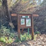
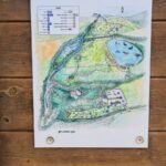
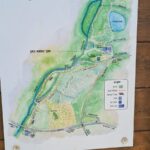
A sign when climbing up from the short part of the wet trail (the long one stretch to Kibbutz HaGoshrim) with a map of the nature reserve and a map around the nature reserve.
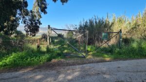 The gate I was running along couple of times is now open

