
Hi,
Nathan is about to be released from the IDF and getting ready for South America treks , so we went to climb the Sartaba.
The Sartaba is the highest point in its area of the Jordan valley. The hill top is 377m above the sea level, but 650 m above the Jordan valley, where we had started our climb.
As Nathan had to practice and I was out for a daily hike we packed ourselves the right way: I with a small bag while Nathan with a 75 litter bag packed with water, food, sleeping bag, tent and clothes.
The hill was topped by a fortress constructed Hasmoneans and was named Alexandreion after Alexander Jannaeus.
The fortress was part of the chain of fortress along the east border of the Hasmoneanian kingdom, which included 7 fortresses, among them: Machaerus, Hyrcania, Cyprus and more.
Take Care
Gad
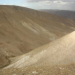
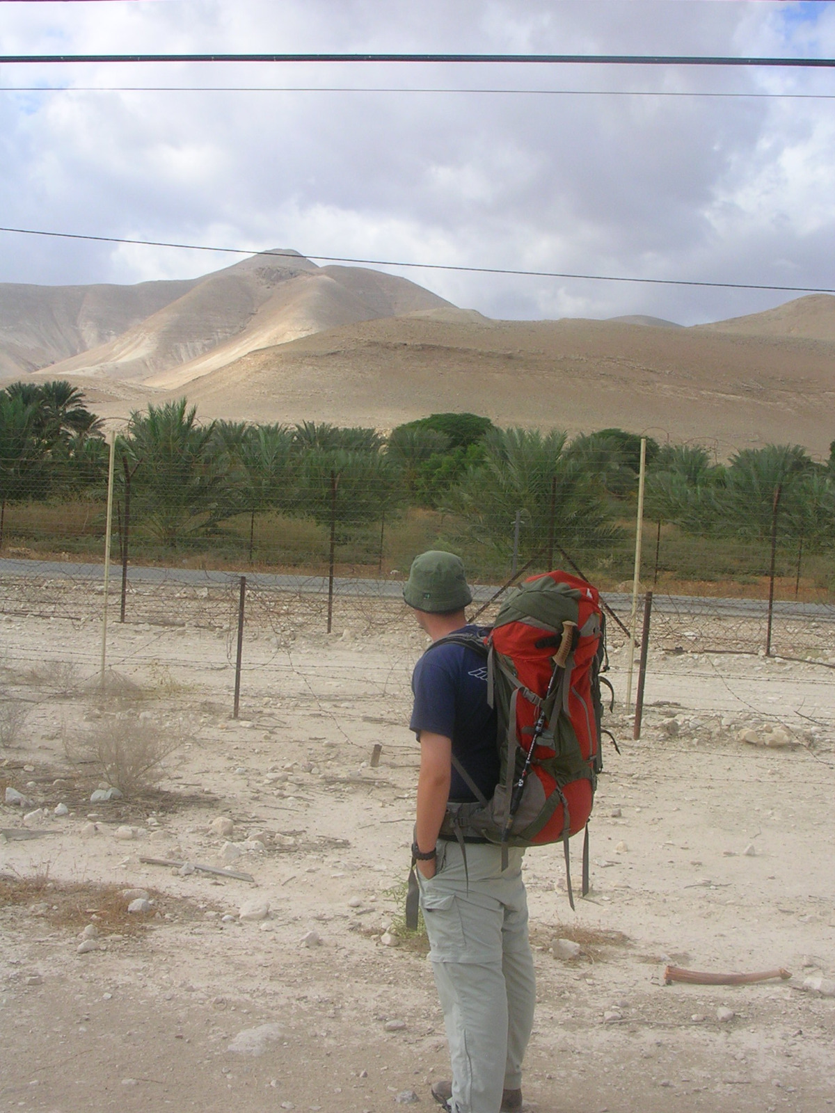 The Sartaba from the Jordan valley
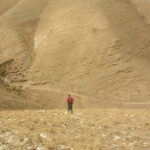
 And we started climbing….
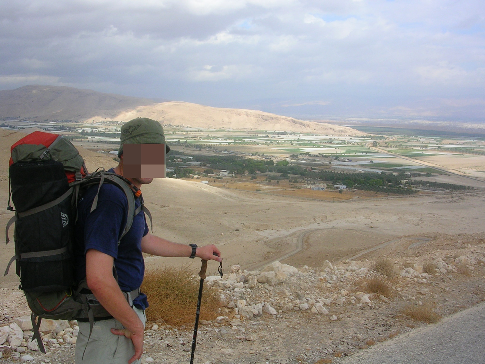
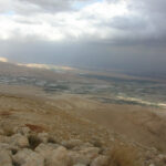
Jordan valley and Jordan on the other side of the valley
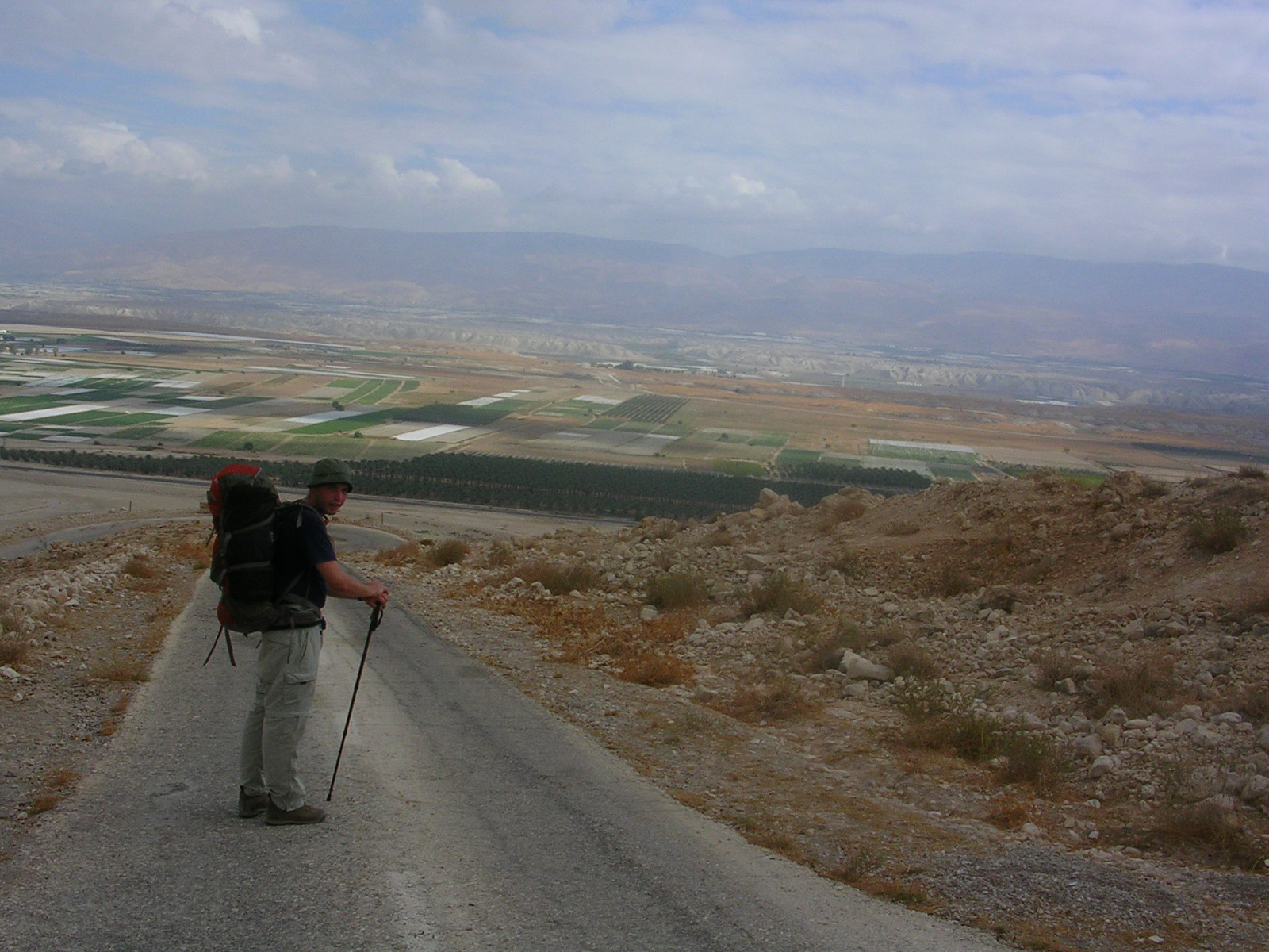
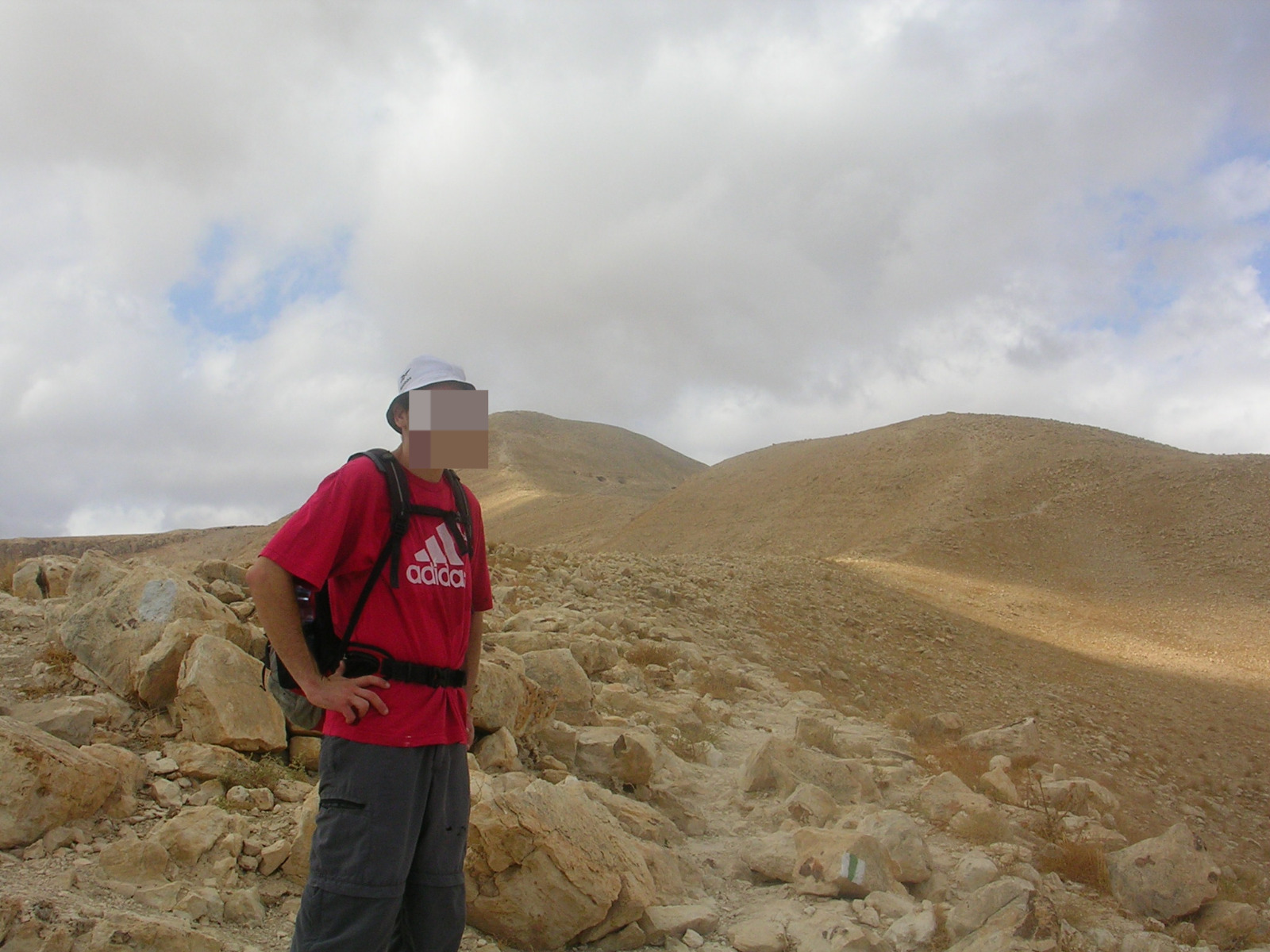
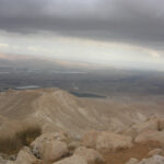
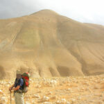
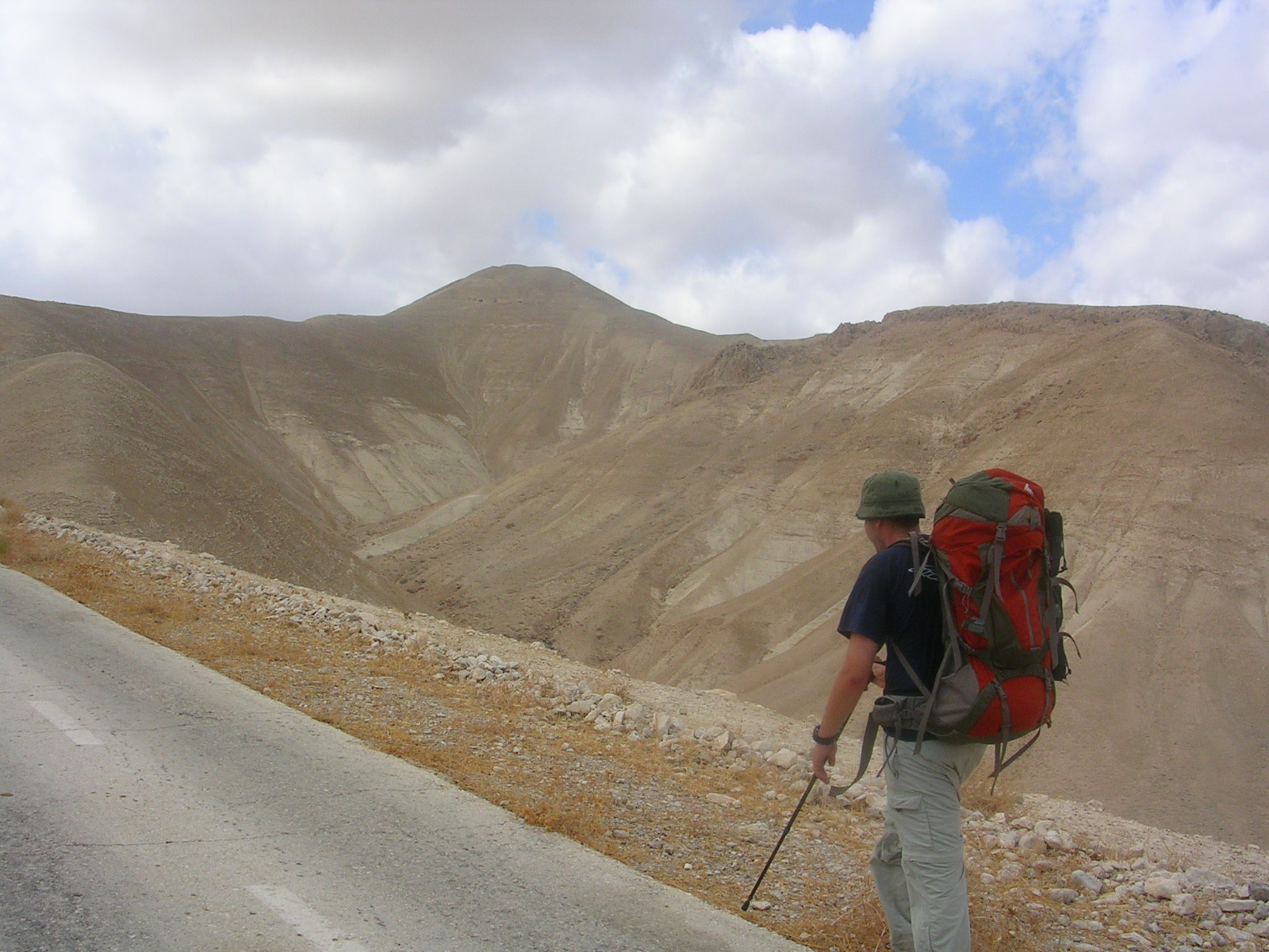 Getting a bit closer to the top
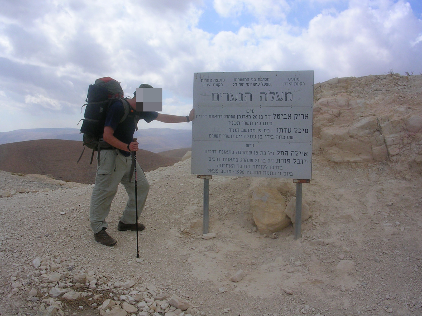 The teen ascent – on the name of the youth of the settlements around Sartaba who lost their life
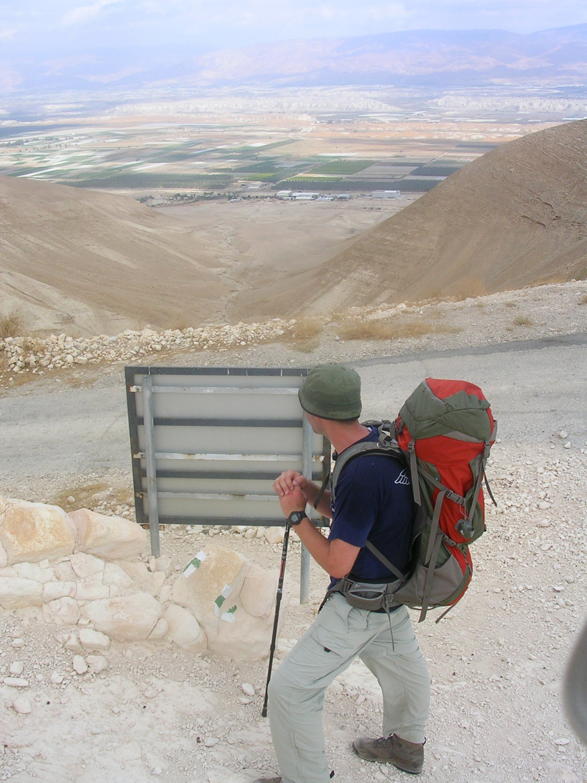 The sign from the other side
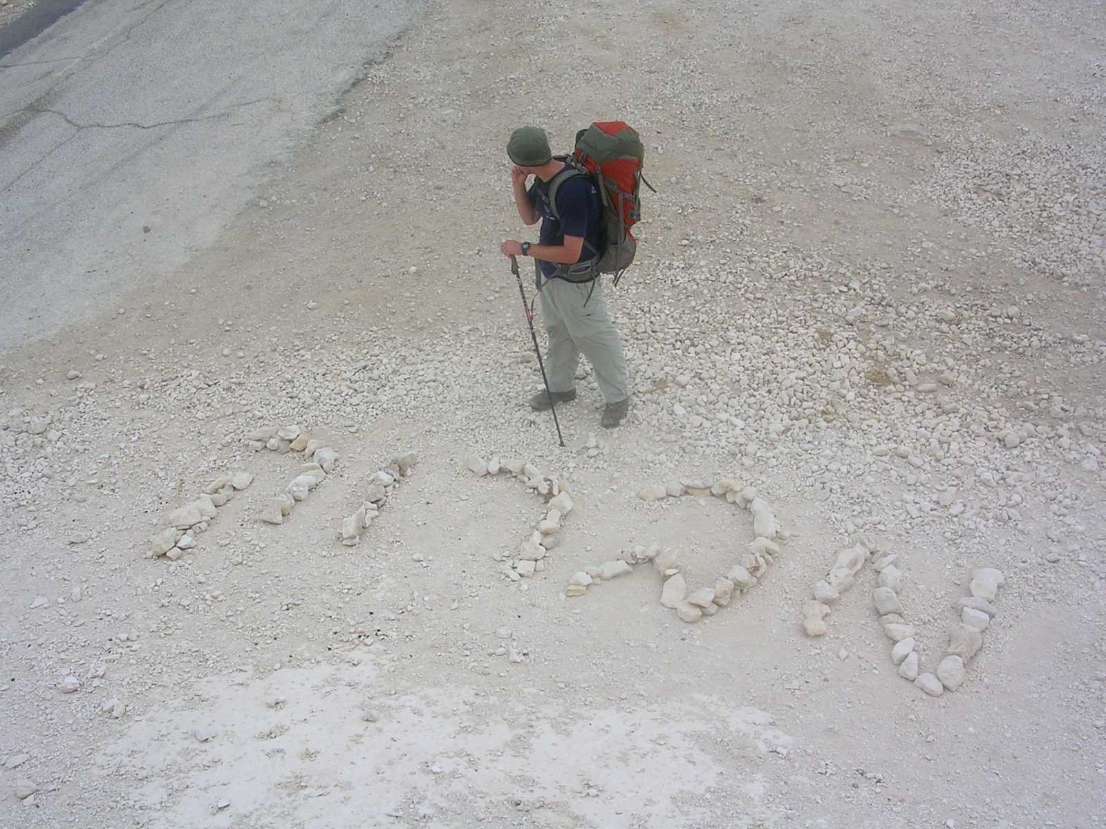 Mabruk (Congratulations in Arabic written in Hebrew later)
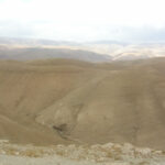
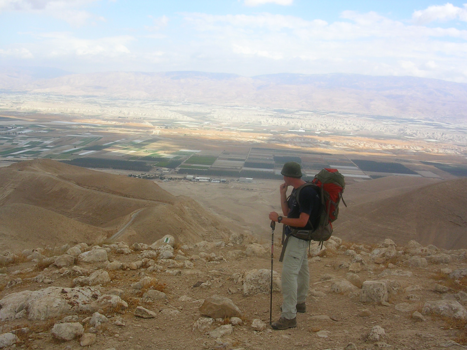
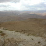
 Looking at the distance
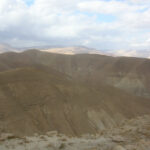
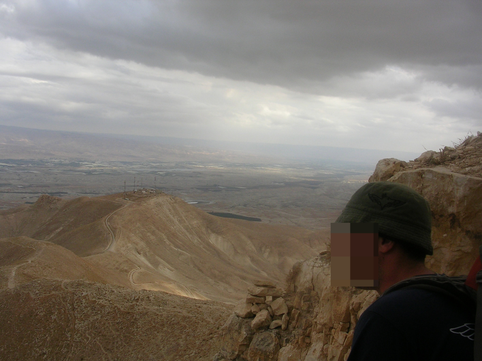
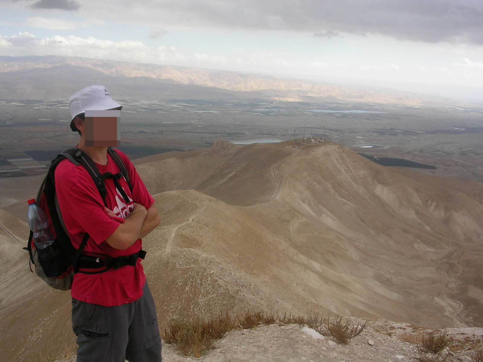
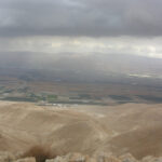
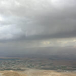
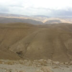
The view
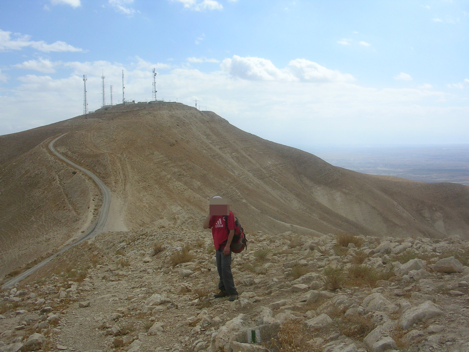 Almost at the top, seems like there is a military post on top
 Wow!
Wow!
 Apparently the military post is not the top of the hill…
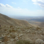
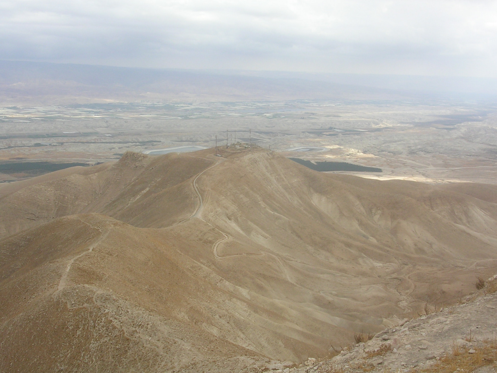
The Jordan valley from the top of the Sartaba (looking East)
 Nathan with what is left of the fortress on top of the hill
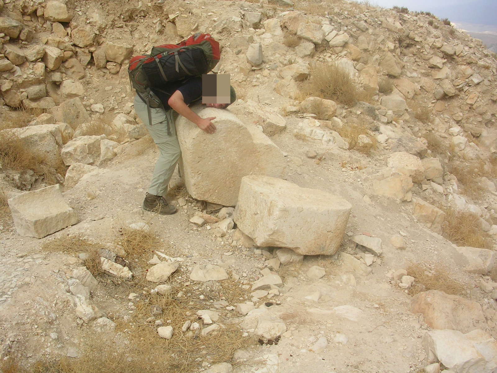 A hug to heart stone

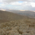
Looking north from the Sartaba fortress
Eating and making coffee on top of the hill
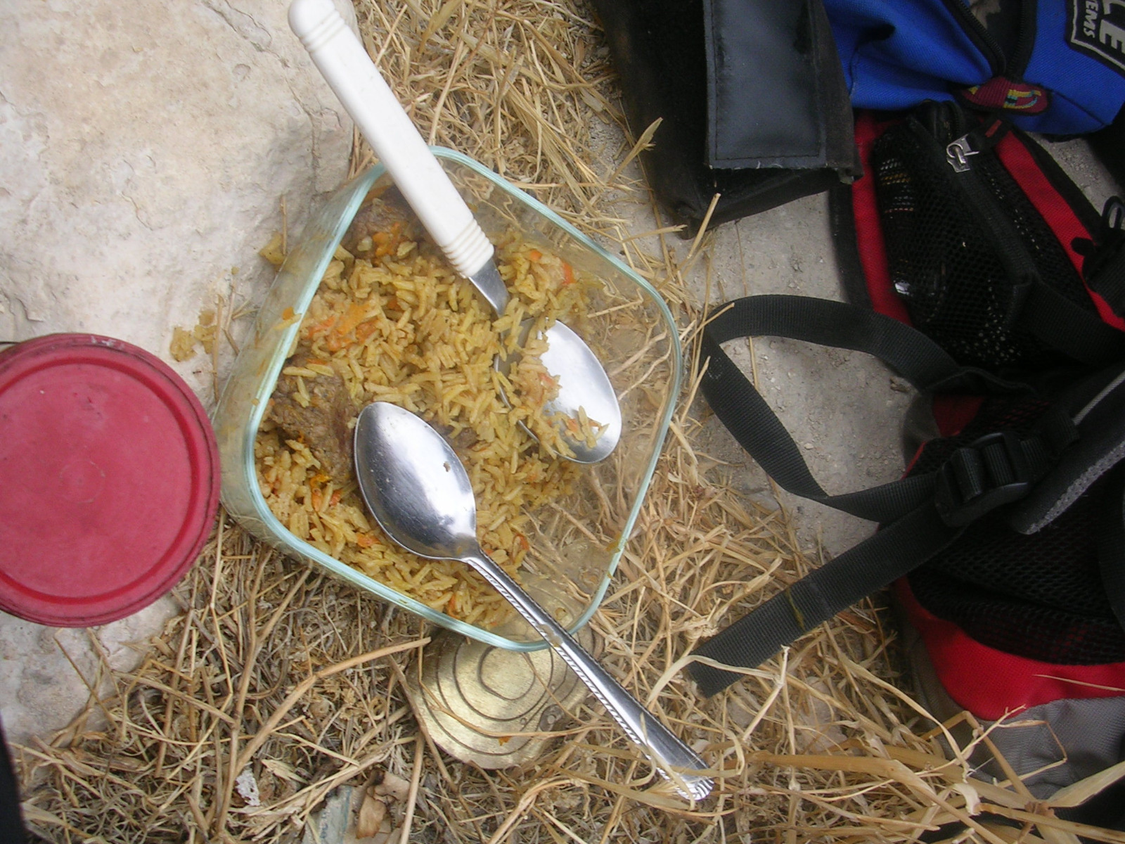 Eating Ima Osh palov
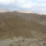
 The ridge of the Sartaba
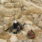
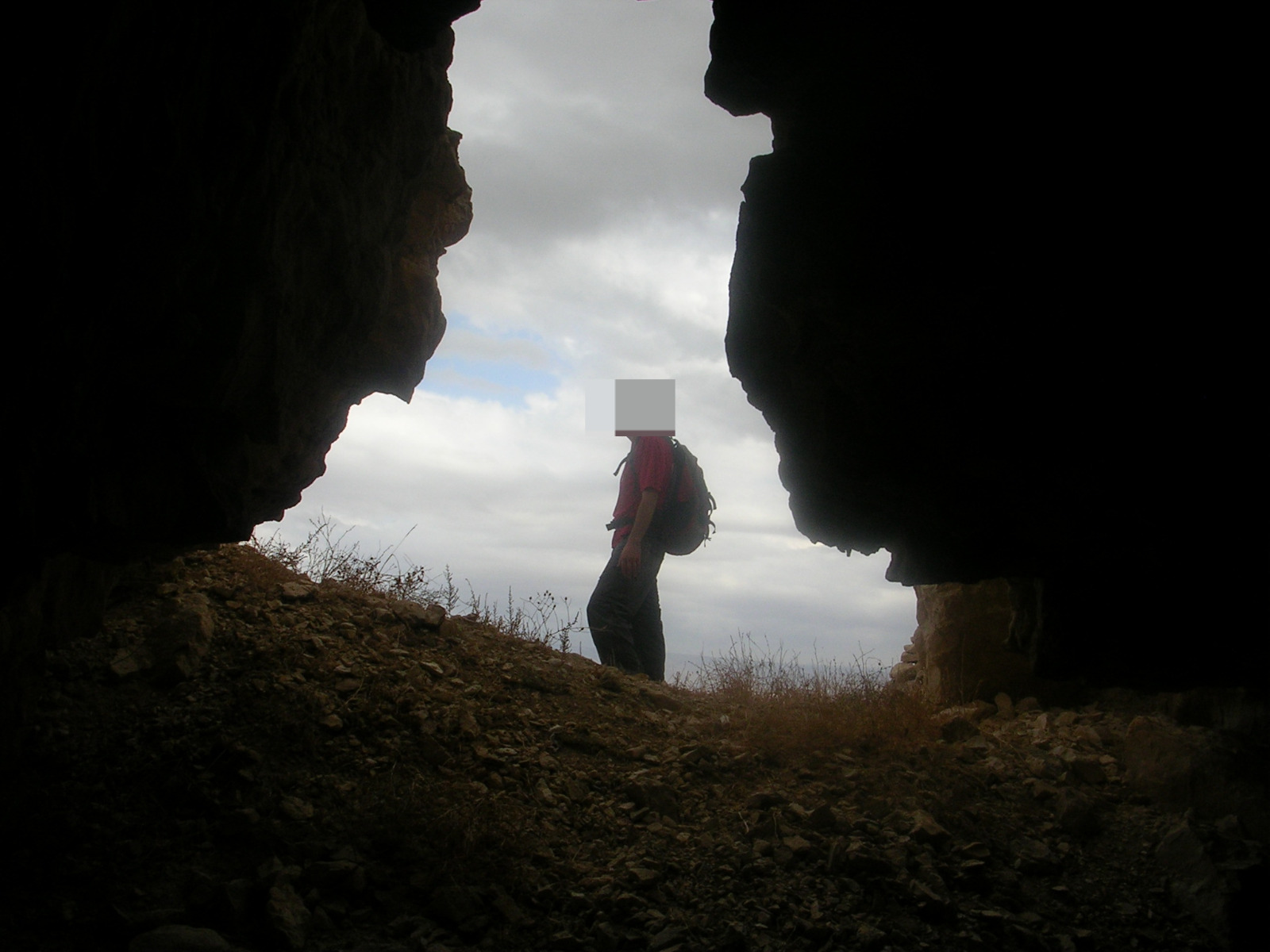 Looking out from one of the fortress cisterns
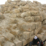
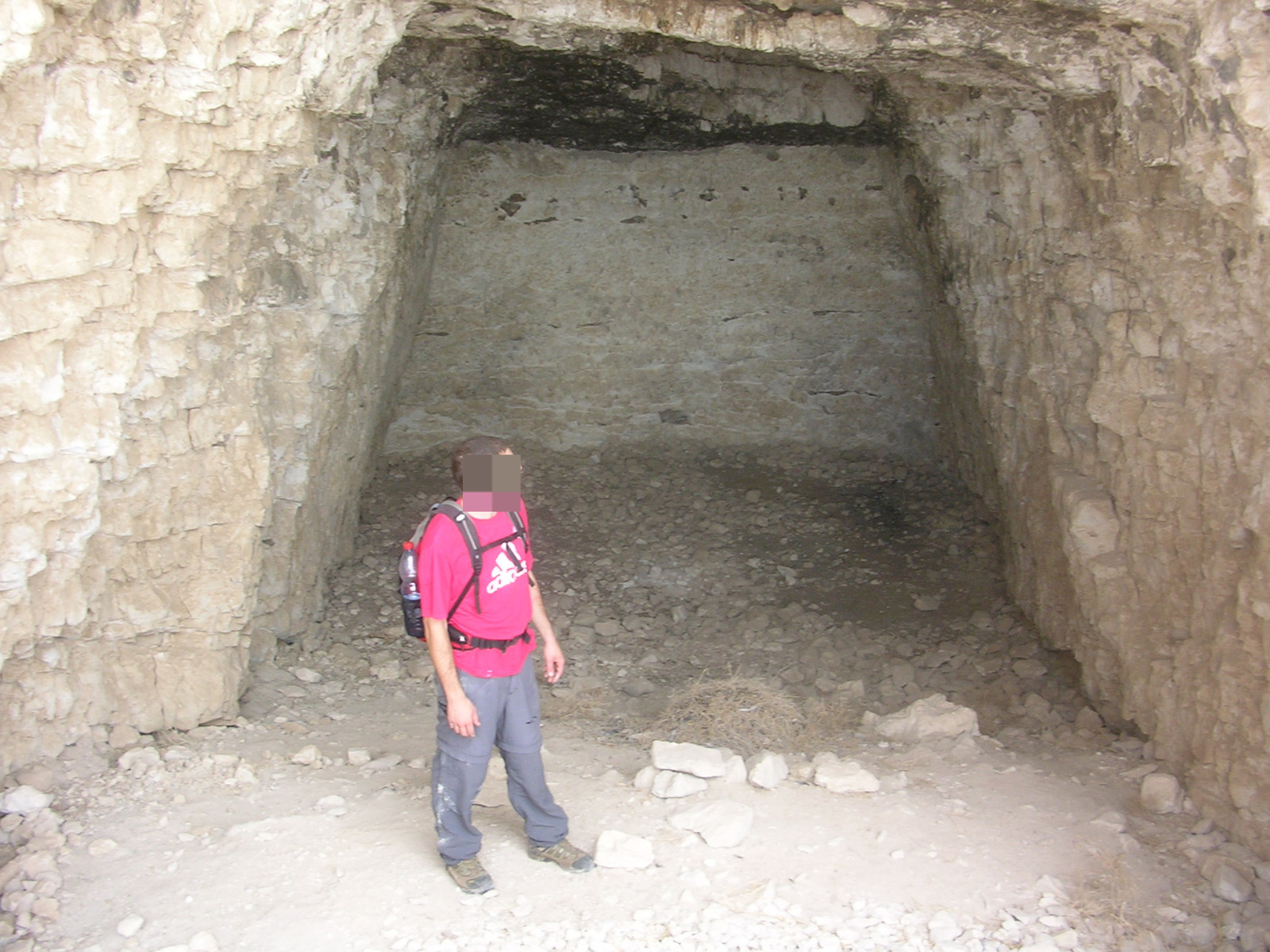 One of the cistern dug into the hill rock
Going down
loading map - please wait...
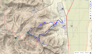 https://israelhiking.osm.org.il/share/GoEv5Q8Oq1