Hi,
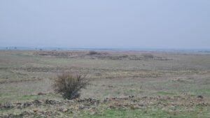
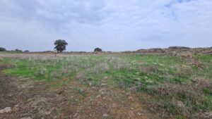
The war on the south continues as IDF forces are progressing south to Khan Yunis and Rafiah. No more hostages had been released or rescued since the cease fire ended. I used the day to hike to Rujm el-Hiri (Gilgal Refaim) in the Golan Heights.
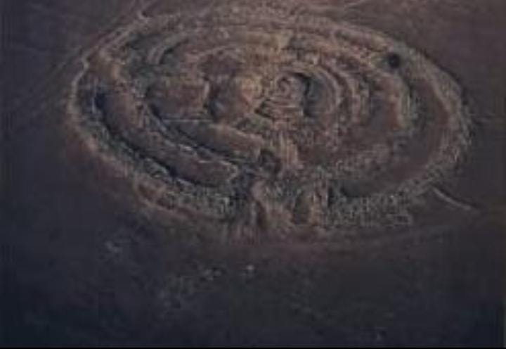
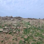
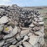
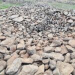
The place is an ancient monument, built of 3 basalt stone circles, one inside the other and a dolmen (an ancient stone graveyard) in the center. The builders of the site used 37 tons of rock, a sign of organized and capable society.
Rujm el-Hiri means the wild cat’s pile of stones. Gilgal Refaim means in Hebrew the Giants’ wheel. Refaim is a Biblical term for epic giants. Looking on this site, it does seem as if only giants could have been built the site.
The place is dated to 5,000 years ago, during the bronze (Canannite) period. Some archeologists claim it was built 6,500 ago on the Chalcolithic period.
It is not clear what the site was used for. It could be the site used for astronomic observatory – for example to set the time to plant. It might also be used as tribal meeting center or a cultic site for sun and star worship, which were common among people in the ancient East.
Take Care
Gad
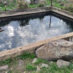
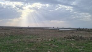 The water reservoir I parked my car next to, from above
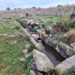
Ein Fares, a spring about half way to the site
A memorial project for the fallen soldiers along the Golan trail, this box is for the memory of Ben Zion Henman
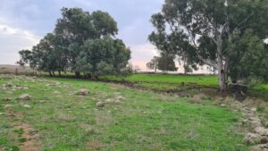 A medow along the way, and Dalyot stream in the middle
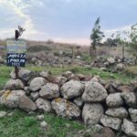
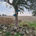
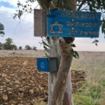
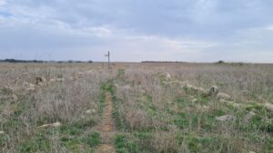 The sign on Golan trail poinylting to Rujm el-Hiri
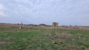 The site with the sign around it
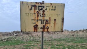 Old remains – Armored vechile and firing are prohibited- by order!
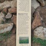
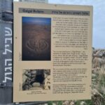
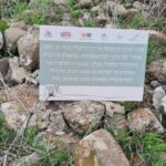
Signs about the site
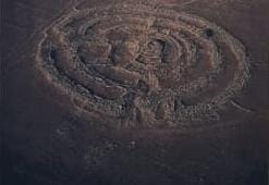 The picture of the site from above (from the sign)
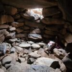
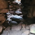
The dolmen in the middle of the 3 circles
Walking and climbing Rujm el-Hiri
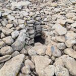
The grave in middle of dolmen
 Panorama view from the top of the dolmen
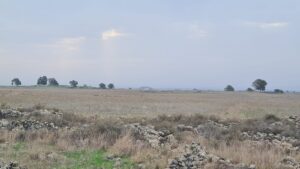 Tal Saki in the horizon, when you see how flat this area is, and without almost no high points, it is clear why they Syrian concentrated their effort on the Yom Kippur war here (along with the second effort near the Valley of tears)
A view point over the site with a bench made by pupils of a school near by

