Hi,
We were already in the north, so I decided to run along the raging Jordan river. I have been investigating this trail for some time, and figured out we won’t be able to do it for some time (with Jannaeus and Atzva on 7th month or with the new baby).
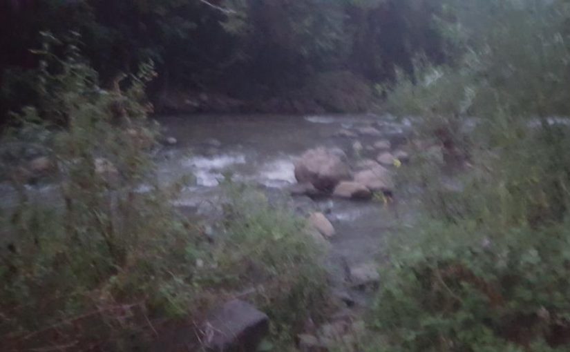
This part of the Jordan river, between the Hula valley and the Kinneret (Sea of Galilee) it drops 450m over 21.2 kM. It doesn’t become the Colorado river but it is a little more raging. In Hebrew it called the mountain Jordan, I prefer calling it the Raging Jordan river.
And if you wonder is this good enough for rafting, it isn’t. But there is “rafting” in the higher Jordan river in the parts where it is more quiet ![]()
 Waking up the sun in the raging Jordan river
 People camping along raging Jordan river
 The Jordan river still quiet here….
 The promenade along the artificial lake Kfar HaNassi Hydroelectric power plant
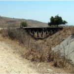
 The bridge over the tunnel leading the water to Hydroelectric power plant
A little bit more raging….
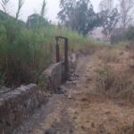
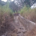
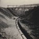
The start of the early design of The National Water Carrier of Israel
This is the start of the early design of The National Water Carrier of Israel. The idea was to catch the water before the loss height when going down to the Kinneret (sea of Galilee), in order to save the cost of pumping it up and use the excess water for an hydroelectric plant. Due to Syrian resistance it was abandoned. Later those fight ended up in the war over the water.
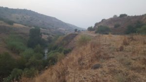 The raging Jordan river digging its way in the ground
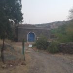
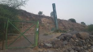 I must admit it was a bit scary to see it on first look – might be a cannon?
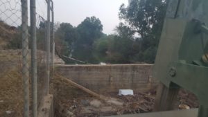 Nope, it is the gate at the edge of the tunnel leading the water to the Hydroelectric power plant
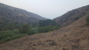 The banks are less stiff here, but the valley itself is still stiff
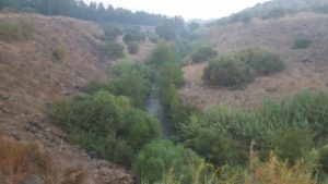 A little bit more stiff here
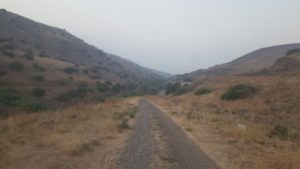 The road following the pipe that supply the water to the power plant
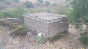
Finally! – Kfar HaNassi Hydroelectric power plant
Front view of the power plant
Kfar HaNassi Hydroelectric power plant was built in 1992, it supplies 5.5 mW (out of 11,664 produced in Israel in 2009 – 0.05%). A 45 dunam lake leads some of the Raging Jordan River water to a 1100 tunnel that leads to a drop of ~50m in height. This vertical gap supply the energy to rotate the turbines and to supply electricity. It is not Hoover Dam, but it is the only hydroelectric power plant in Israel those day (there used to be one in Naharayim, with 18mW, that stop working in 1948, due to the war of Independence)
 Seems like banks south from here become stiff again – but I had to go back
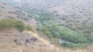 Looking North down below – The Raging Jordan river. The black trail takes you from down there to this view
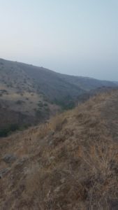 Yep, looks pretty stiff south from here
 Panorama view from the black trail (hiking path)
 And Panorama view from the red trail (4×4 road) a little bit higher. Exactly in this point the Jordan river pass the cease fire line between Israel and Syria until 1967. North from here the Jordan river was in no man’s land, south from here it was in Israel area. That is why the Syrian objected to the building of the early design early design of The National Water Carrier of Israel.
A viewpoint over the raging Jordan river, going down from Hula lake to the Kinneret (sea of Galilee)
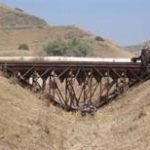
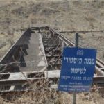
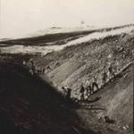
What remains of the early design of The National Water Carrier of Israel – The concrete tunnel and the steel formwork used to cast is. This is the trench that can be seen along the red trail mark all the way from Kfar HaNssi lake to Karkum. The formwork was moved on continually on trails with minimal angle, while concrete mixture was poured into it without stop. Too bad I didn’t get to the place, and turn around probably couple of hundreds meters before ![]() (Pics: right & left – Amit Horn from Amud Anan, middle – Wikipedia from Mekorot Archive)
(Pics: right & left – Amit Horn from Amud Anan, middle – Wikipedia from Mekorot Archive)
The original picture of the trench and the formwork (Pics: right & left – middle – Wikipedia Mekorot Archive)
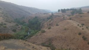 Looking south, maybe you can see the Kinneret
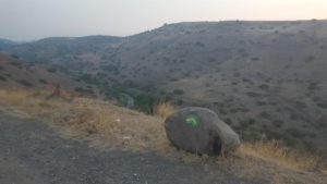 This trail mark is of the Golani trail
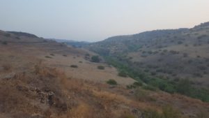 Looking North – the valley looks less stiff
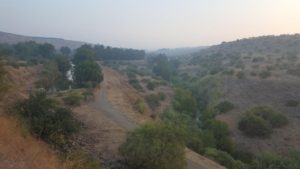 You can see both the tunnel for the hydroelectric power plant and the creek were the Jordan river flows.
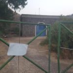
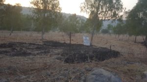 The fence around the tunnel for the hydroelectric power plant, the sign that says “private property” and the tent on the banks of the tunnel…
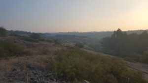 In the middle of the picture, a line below the horizion one can see Metzad Ateret.
 The start and the end of the train is in Metzad Ateret, But more about this castle in the following post.
,

