Hi,
[We went hiking on 21.07.2018, but only I found the time to sit down on it :-)]
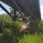
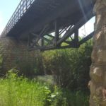
We looked around in the map to find a nice Saturday morning hike, and our finger land on the Yarkon sources National Park. The park has two parts and we went to the smaller and less tourist part – which isn’t really hold the springs but rather part of the river. I did enjoy the tour very much because I found that the railway bridge over the Yarkon, in the far corner of the reserve, is nice old steel bridge
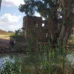
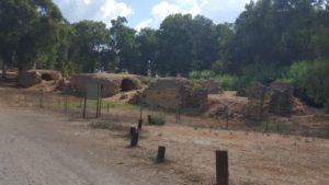 The Al-Mir flour mill
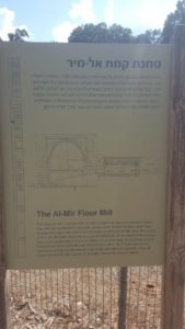 The Al-Mir flour mill – The ancient mill is named after a small village that was once located nearby. The mill was operated by the water power of Yarkon stream, which was diverted through it via dam and channels. A series of arches span the ceiling of the mill. Beneath each one is a pair of millstones. At the height of its activity there were apparently 13 pairs of millstones at work here. Archaeological and historical evidence indicate that the mill was built in the Roman period and renovated during the Mameluke (Late Arab) and Ottoman periods. The mill house apparently also served as a bridge across the Yarkon stream.
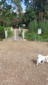 A bridge over a dry stream – why not cross it
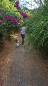 The romantic trail – it leads to the first concrete building in Israel. A couple on the way back said it closed with a gate, so we turned around.
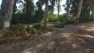 The Yarkon river
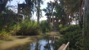
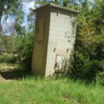
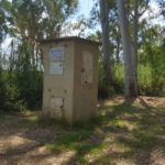
The stone house and the pump house. I got to the other side of the river while running.
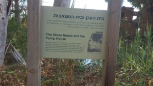
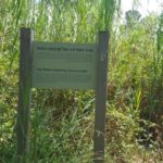
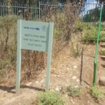
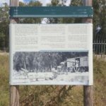
The stone house and the pump house sign – The stone house is a nineteenth century grove owner’s residence. West o it is a contemporary pump house. According to an agreement dating it back as the days of the Ottoman rule in Palestine, farmers on the banks of the Yarkon River are permitted to draw water directly from the stream. There are 18 pumps of this type along the Yarkon River.
Jannaeus was feeding the small fish, until the big catfish come and scared us all
The pump house from a closer look
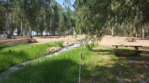 The Yarkon source – from a water drill. Not really a spring….
But the water flow
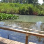
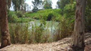 The green Yarkon river
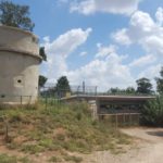
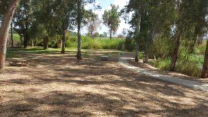 The water authority dam in a distance view
The water authority dam and the sign – The amount of water produced by the Yarkon river can be measured by a permanent trapeze in the concrete dam. A by product of the dam is a small waterfall which enriches the water with additional oxygen. The Israel Nature and Parks Authority in coordination with the Water Authority has extended the original height of the dam in order to prevent the stream from drying up during the summer months, and to ensure the continued existence of the its natural treasures.
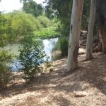
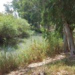
The curves of the Yarkon river
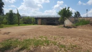 The railway bridge over the Yarkon and the pillbox from the
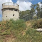
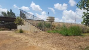 The British Pillbox
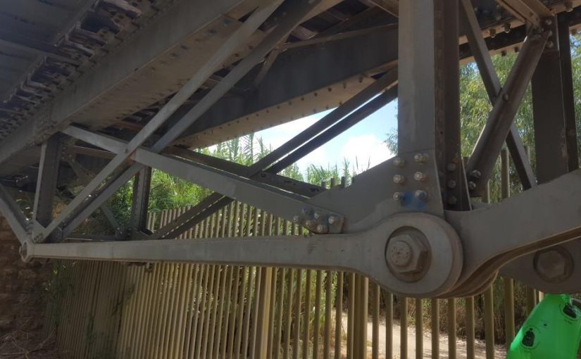
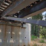
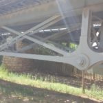
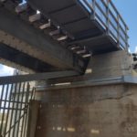
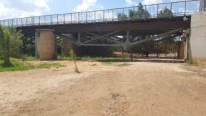 The new railway bridge: a simple supported steel truss bridge
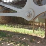
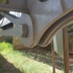
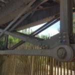
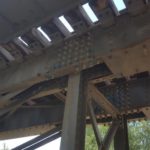
New bridge details: The Truss, the end support, the pinned connections
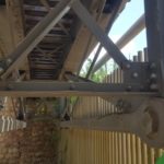
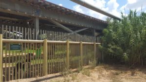 The old bridge from the British time (1921), It was built as part of the railway between Petah Tikva and Rosh_HaAyin. The citrus fruit growers of Petha Tikva initiated the building of the railway line to transport the fruit to Yafo (Jaffa) more efficiently. The works were funded by PICA (Palestine Jewish Colonization Association founded by the Baorn Rothschild) and the builders of the railway were Jewish workers from Joseph Trumpeldor Labor Brigade.
 The bridge picture from 1954, when the Coastal railway track between Haifa and Tel-aviv was opened.
Old bridge details: The end support, the pinned connection, the diagonals bolted connection and the beam (also top chord) splice.
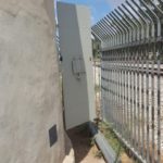
The Pillbox from 1937 the days of the Arab revolt , that was built to keep the bridge from being sabotaged. The guards were the Jewish Auxiliary Policeman (“Notrim”) and later the same post was used during the War of independence by the defenders of Petah Tikva. The letters PPRD, inscribed on the side of the guard post are the initials of the Palestine Police Railway Department.
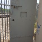
The Pillbox doors
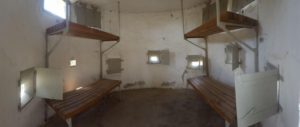 The pillbox from within, with sleeping benches
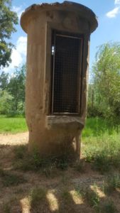 Maybe another post?
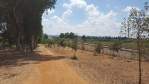 The railway
Take care
Gad
