
Hi,
The Coronavirus curfew and the hot wave is behind us, and at least until a new wave will come we spends some time outside – yesterday we were on the beach (until the police closed it to due to heavy traffic) and today we rode along the Yarkon river to the east and I had the chance for some pictures of the 10 mills site (El-Hadar) I cross when I run at night.
The Yarkon river had five mills along it: Mir mill, Abu Rabah, Farhuya, 10 mills and 7 mills. The Ten mills was the biggest of the those mills, with 20 mills in the pick of work, along the Yarkon river (although in the near Seven mills site there were also ten mills ![]() ). It might have been the biggest of those in Israel.
). It might have been the biggest of those in Israel.
The bridge over the Yarkon River was called Jaser Al-Dahar (the bridge of noise of water). Most of those sites were built during the Roman time, as this site. But it was abandoned for a long time and reused during the 19th century.
The Ottomans blow the site during the time their defense line was based on the Yarkon river on World War I, and to prevent the British from crossing the river. But in the end, not far from here was one of the 3 locations the British crossed it.
Today all you can only find is a concrete dam, a closed steel bridge over it and 2 concrete frame (each with 5 columns resembling the name of the site). There is no sign or explanation on it. You can barely imagine how the whole place looked like, and I had a long time before I even understand the general view of it.
Archaeological survey shows 3 meter high walls, suggesting a system of dams of walls that created a water pool (30m wide and 100m long).
Take Care
Gad
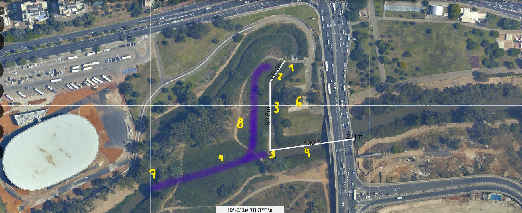 Ten mills area map (Source: GIS TLV):
1.New concrete Dam.
2. Original Dam (30m long covered with soil.
3. Original pool wall (80m long, 6.5m wide, 3-4m high). on it’s north edge there were 12 mills, on 6 tunnels. 3 of the tunnels can be seen from east.
4. South wall of the pool, over 100 long, was destroyed during the
5. Today concrete wall for surplus.
6. The area of the pool back in the days and the concrete frames today.
7. The connection of the Yarkon curve today to the original route of the river.
8. Original curve of the Yarkon river on system.
9. Original route of the Yarkon river, now used for surplus.
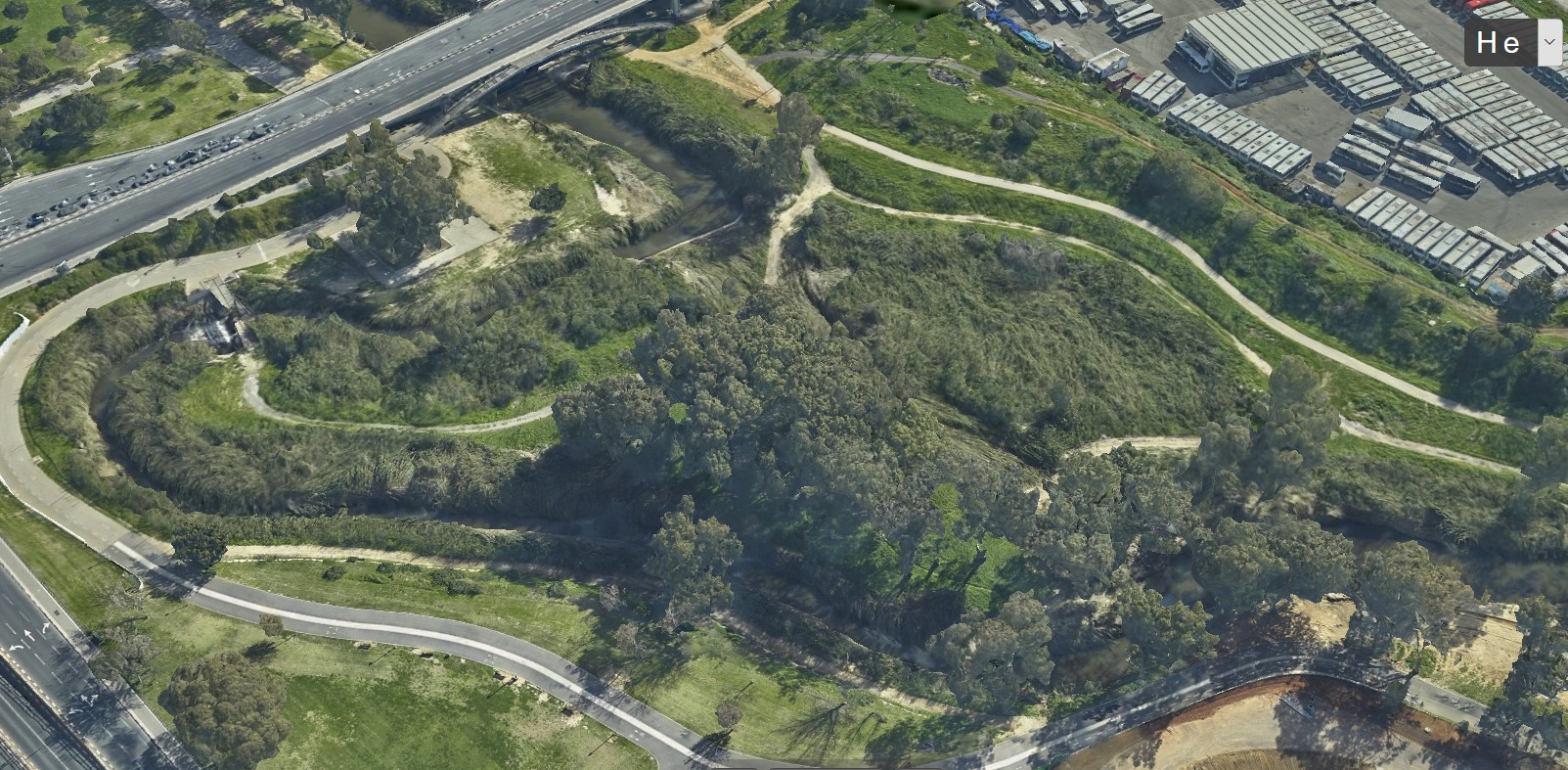 Looking on the site from North-west: On the left is the dam, the Yarkon river flows from the up-left to down-right (source: simplex-smart3d.com)
 Looking on the site from South: On the right is the dam and the Yarkon river flows from right to left (source: simplex-smart3d.com)
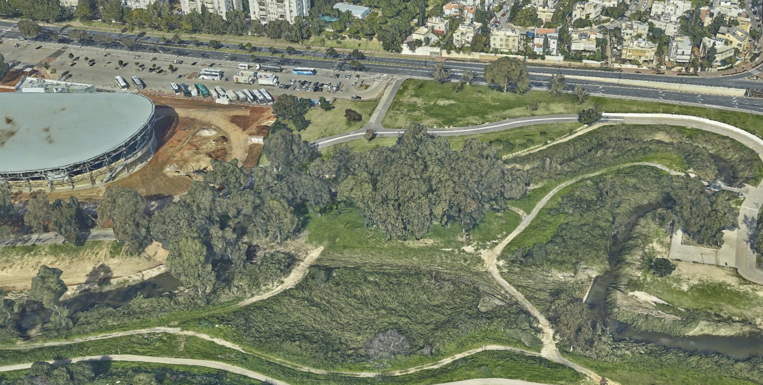
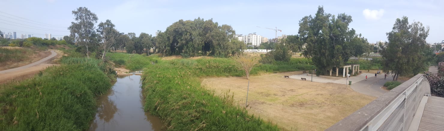
 The new concrete bridge on the Yarkon river. The original dam was on top of the picture (1 on the map).
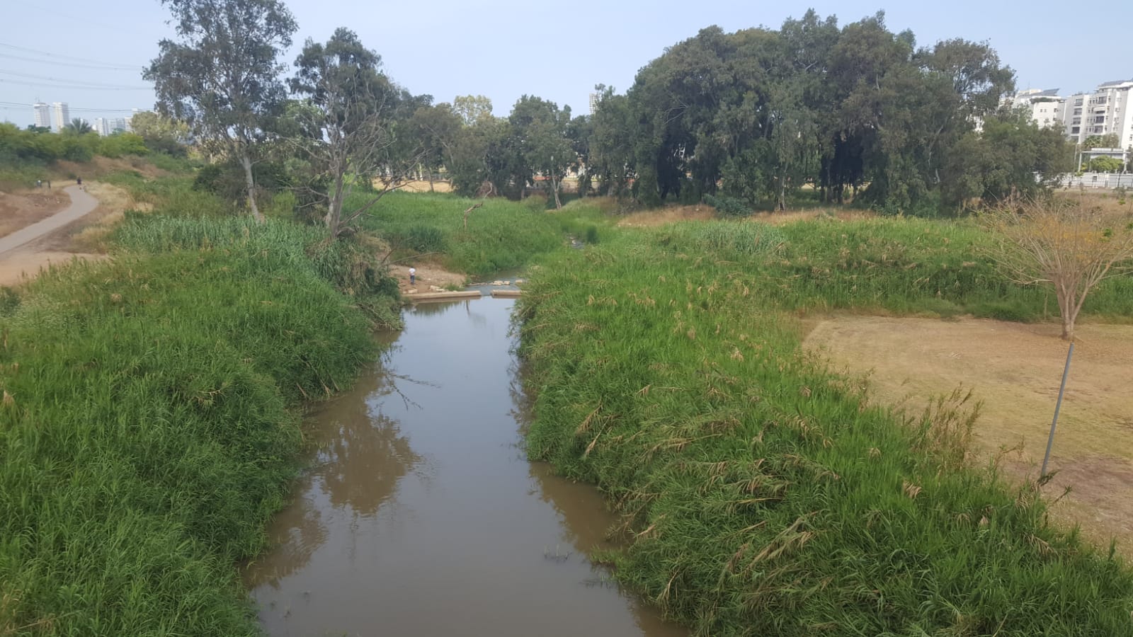 Looking on the area from east – the Yarkon curves to the right and in front there is a new concrete wall to allow surplus to flow to the original route of the River (Sign 5 on the map).
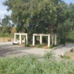
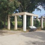
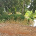
The concrete frame East of the site (6 on the map) – Ten Mills
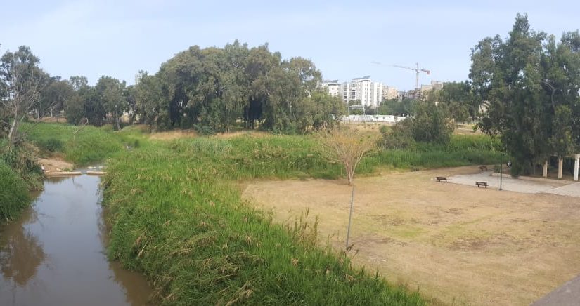
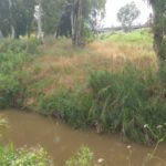
 A look on the site from the bridge from east.
The connection of the Yarkon curve (from the left) to the original route (in front, 9 on map) (sign 7 on the map).
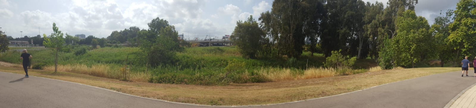 Looking on the new curve of the Yarkon river from North.
 Israel National trail mark on a street light post nearby.
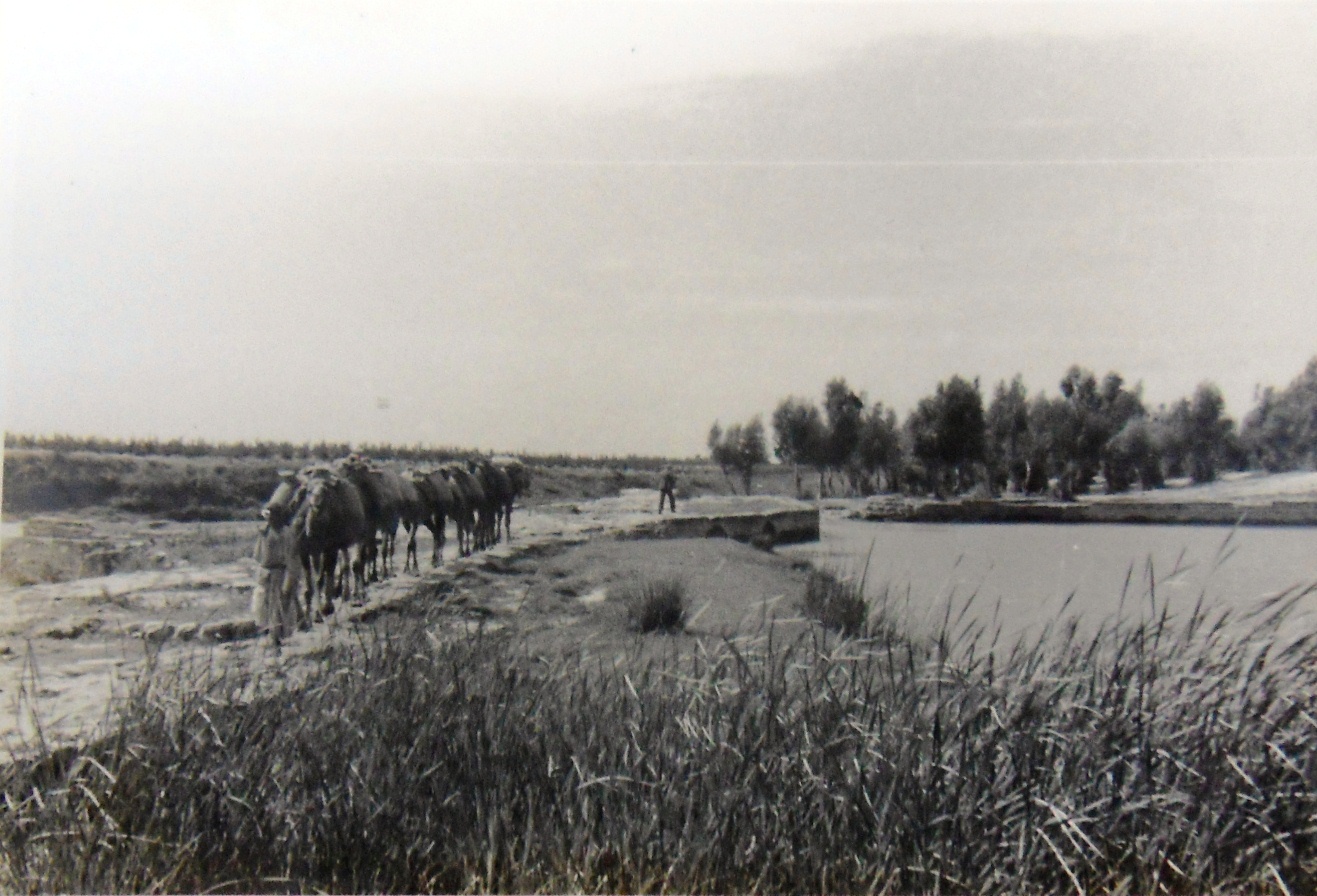 The site and the Yarkon river in a picture from 1930s’ (source: TLV100.net).
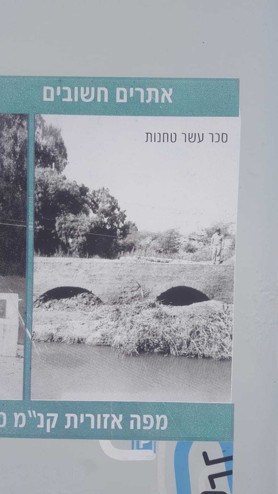 Ten mills dam from one of signs along the Yarkon Park
22.09.2020 – works has started on the south side. The sign says – Skate Park, but maybe part of the pool we be uncovered ![]()